Estimated reading time: 5 minutes
In the past, surveying and mapping projects in Saudi Arabia often required large crews, long timelines, and high costs. Today, drone technology has completely changed that model. By capturing accurate, high-resolution data in a fraction of the time — without compromising safety — drones have become a necessity for forward-thinking companies across construction, mining, energy, and infrastructure.
At NineTenths, we’ve seen firsthand how drone surveying dramatically improves efficiency, accuracy, and ultimately, return on investment (ROI).
Table of contents
- The ROI Equation Has Changed
- How to Maximize ROI with Drone Surveying and Mapping
- Precision That Pays Off
- Safety Without Sacrificing Quality
- Faster Turnarounds = Faster Payments
- From Data to Decisions
- Choosing the Right Drone Solution
- Summing Up:
- Frequently Asked Questions About Drone Surveying in Saudi Arabia
The ROI Equation Has Changed
Traditional surveying relied on boots on the ground, repetitive manual measurements, and risky operations in harsh environments. Every extra hour in the field added labor costs, logistics, and project delays.
With drones, large areas can be covered in a single flight. Data is processed quickly, and clients receive results faster than ever before. When calculating ROI, it’s no longer just about the cost of a drone system — it’s about the time saved, risks avoided, and accuracy gained.
What once took weeks can now be completed in hours, freeing up resources for other critical tasks.
How to Maximize ROI with Drone Surveying and Mapping
How to Maximize ROI with Drone Surveying and Mapping
- Step 1: Define Project Requirements
Identify whether the project requires topographic mapping, volumetric analysis, or infrastructure inspection.
- Step 2: Select the Right Drone and Sensors
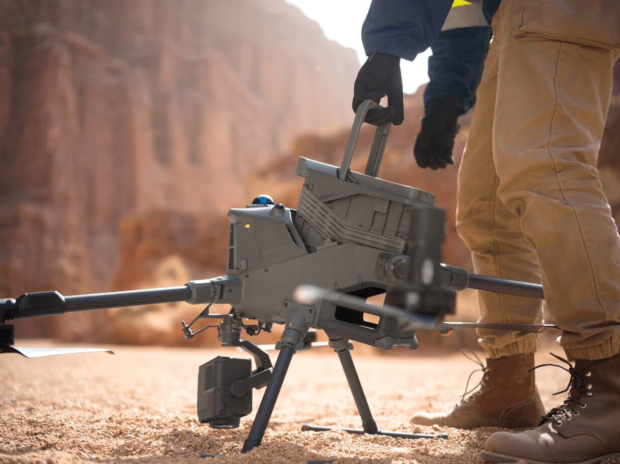
Choose appropriate technology such as LiDAR for terrain mapping or photogrammetry for high-resolution imaging.
- Step 3: Plan the Survey Mission
Set flight parameters including altitude, overlap, and coverage area to ensure accurate data capture.
- Step 4: Conduct Data Acquisition
Execute the drone flight to collect georeferenced aerial data efficiently and safely.
- Step 5: Process Survey Data
Use specialized software to generate outputs such as orthomosaics, point clouds, and 3D models.
- Step 6: Analyze and Apply Insights
Use the processed data for planning, measurements, and decision-making to reduce errors and costs.
Precision That Pays Off
Accuracy is everything in surveying and mapping. A small measurement error can cause costly rework and project delays. Modern drones, equipped with GNSS positioning, LiDAR, and photogrammetry, achieve centimeter-level accuracy — ensuring fewer site revisits, better decision-making, and satisfied clients.
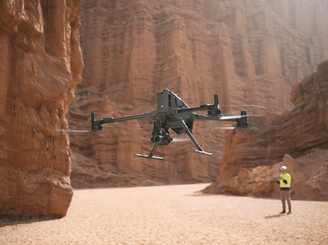
For example, LiDAR-equipped drones can map dense vegetation or rugged terrain where traditional methods fail. By capturing millions of precise data points, they create accurate 3D models that support smarter planning and prevent costly surprises.
Safety Without Sacrificing Quality
Surveying often involves difficult or hazardous environments — steep slopes, heavy equipment, or remote sites. Drones keep personnel out of harm’s way, reducing accident risks while still delivering high-quality results.
This increased safety also lowers insurance and compliance costs, directly contributing to ROI.
Faster Turnarounds = Faster Payments
For businesses, speed translates into revenue. Faster delivery of maps and reports means clients can act quickly — and companies can invoice sooner.
Our clients have cut surveying timelines by up to 70% using drones, directly boosting profitability. Faster project delivery also strengthens client relationships, leading to repeat work and referrals — a powerful hidden driver of ROI.
From Data to Decisions
The real value of drones isn’t just in the images or point clouds, but in how quickly that data becomes actionable. Integrated software allows rapid processing and analysis, so teams can make informed decisions without delay.
- Construction: progress tracking and earthworks calculations
- Mining: volumetric measurements and stockpile management
- Land Development: topographic maps for planning and design
In every sector, drones deliver decision-ready data that saves time, reduces waste, and improves efficiency.
Choosing the Right Drone Solution
Not all drones are equal. Selecting the right aircraft, sensors, and software is essential to maximize ROI. At NineTenths, we work with clients to design tailored drone solutions — considering flight endurance, payload capacity, and processing requirements.
The goal is always the same: deliver accurate results faster, safer, and more cost-effectively.
Summing Up:
Drones are no longer a “nice-to-have” in surveying and mapping — they’re a competitive necessity. By reducing time, improving accuracy, enhancing safety, and enabling faster decision-making, drone technology delivers measurable ROI that traditional methods simply cannot match.
At NineTenths, we help organizations in Saudi Arabia integrate drones seamlessly into their workflows, ensuring they get the most value out of every flight.
Frequently Asked Questions About Drone Surveying in Saudi Arabia
Drone surveying uses UAVs to capture aerial data and generate maps, 3D models, and measurements for various industries.
Yes, modern drone systems using GNSS and LiDAR can achieve centimeter-level accuracy when properly planned and executed.
Construction, mining, energy, and land development industries rely on drone surveying for accurate and efficient data collection.
Yes, drone surveying reduces labor, time, and operational risks, resulting in significant cost savings.
Choose a provider with proven experience, advanced UAV technology, and accurate data delivery. Companies like NineTenths drone surveying services in Saudi Arabia provide reliable, data-driven solutions for complex projects.
Need to maximize ROI on your surveying and mapping projects?
Contact NineTenths today to discover how our drone‑powered solutions deliver faster data capture, higher accuracy, and actionable insights for smarter planning and greater project value.