

LOCATE
The Whole Interior, Mapped in a Single Flight.
Detailed, live and independent of GPS.
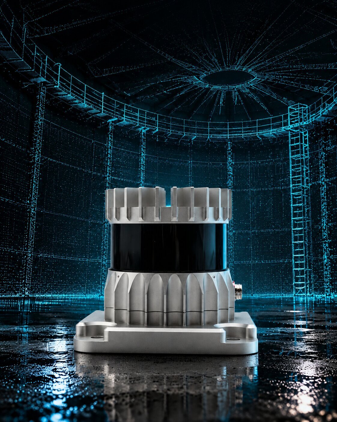
Built into every Scout 137 flight, the 3D LiDAR records the entire asset interior as a point cloud you can move through. The same sensor provides live SLAM positioning for the drone. In Scout Portal the scan becomes a 3D model, and every other measurement is anchored to it.
LOCATE
The Whole Interior, Mapped in a Single Flight.
Detailed, live and independent of GPS.
Built into every Scout 137 flight, the 3D LiDAR records the entire asset interior as a point cloud you can move through. The same sensor provides live SLAM positioning for the drone. In Scout Portal the scan becomes a 3D model, and every other measurement is anchored to it.
LOA20
USIBD LEVEL
128 Beams
SENSOR
GPS-Free SLAM
LOCALIZATION
None
CONTROL POINTS NEEDED
Why It Works
Until now, surveying and inspecting were separate jobs: a geometry scan by one crew, a steel-condition check by another, on different site visits. The 3D LiDAR records the survey during the inspection flight itself and converts it into a model you can navigate, measure and share.
Full Asset Geometry in a Single Flight
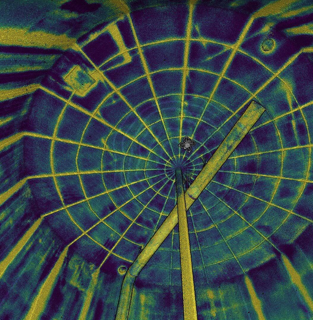
- The LiDAR records up to 5.24 million measurements per second, so one pass through a cargo tank, distillation column or penstock returns the whole interior as a dense point cloud.
- It is tuned for close geometry, with up to 75 m range (35 m on dark, 10%-reflectivity surfaces) for the occasional large space.
- What once needed a static terrestrial scanner and two days of setup now takes a 15-minute flight.
- It is standard: the 128-beam LiDAR is built into every Scout 137 Gen 3 and runs on every flight, with no payload to mount, rig to rent or premium add-on.
- Compared with a terrestrial laser scan, the point cloud meets USIBD LOA20, the accuracy level used in as-built contracts, with no control points and no GNSS.
Navigates in Total Darkness, Without GPS
- Inside a sealed tank there is no satellite signal and no light.
- The OS0 3D LiDAR measures distance and also captures a camera-grade near-infrared image of every surface, lit by its own laser.
- So the sensor that builds the point cloud also tells the drone where it is: sub-centimetre positioning in pitch black, with no beacons, markers or ground setup.
- Because the drone always knows its exact position, every reading from every payload (UT, photo, gas) sits in one consistent coordinate frame, ready to become a single navigable model.

Virtual Cage: Protection While You Fly
- Everything else here describes what the point cloud gives you afterwards; the Virtual Cage is what it gives you in the moment.
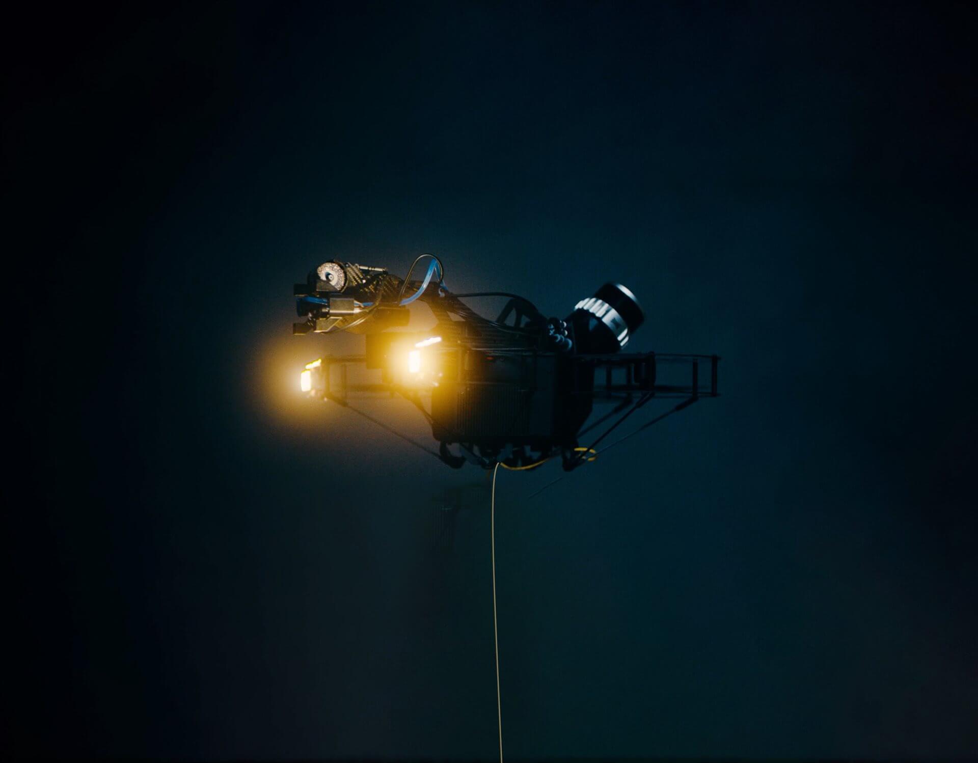
- It runs in Scout Operator on the RT Profile: as the LiDAR builds the map, the map becomes a live protective boundary around the drone.
- This full-coverage anti-collision keeps a mapped beam, ledge or wall protected even after it leaves the sensor’s line of sight, so the drone stays safe while the pilot is still flying.
Walk the Point Cloud Before You Leave Site
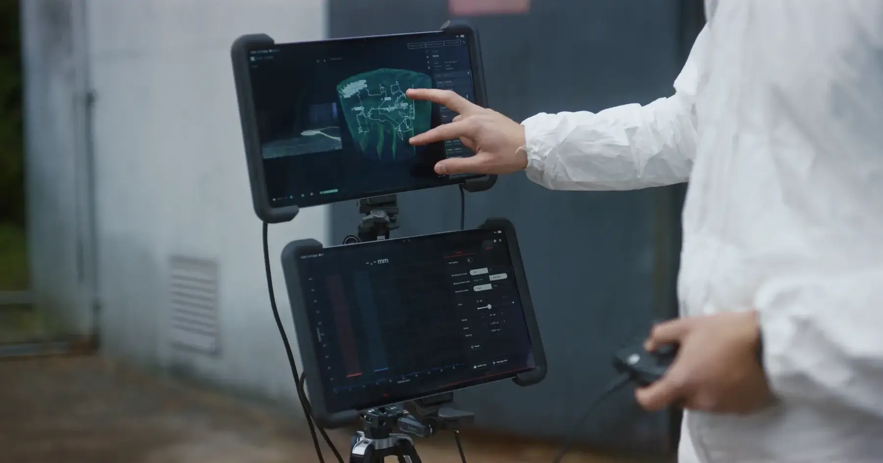
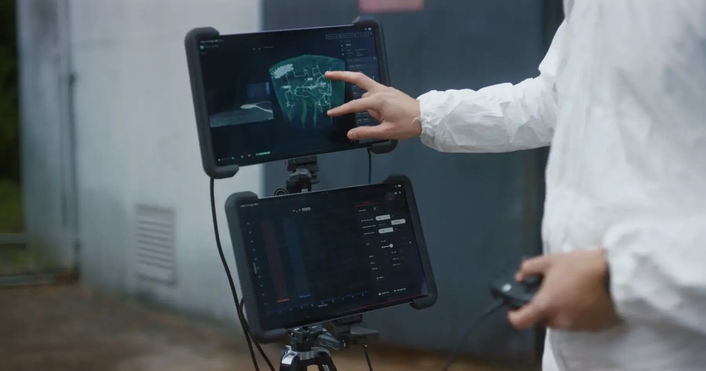
- Scout Viewer opens the finished 3D point cloud on the Android tablet you flew with, or from the SD card on a Windows PC.
- No login and no cloud upload are needed, so you can walk through it with the customer straight after the flight.
- Then export the PDF report on site.

A Live Digital Twin to Measure, Share and Build On
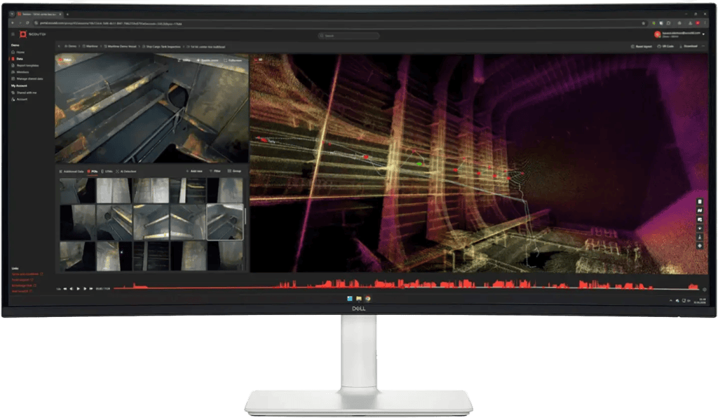
- After the flight, upload to Scout Portal and the point cloud becomes a 3D model of the asset interior that you walk through in the browser, with nothing to install.
- It uses the HiFi Profile of Scout Spatial Engine, cloud processing tuned for maximum point-cloud fidelity, included with every Scout Portal subscription on Gen 2 and Gen 3 flights.
- Every UT reading, photo and gas measurement is anchored to the same coordinate frame.
- Measure anywhere in the model, compare with the previous inspection to see what changed, and generate the report. Inspectors, owners and class surveyors review the same model remotely, without re-entering the asset.
- Export to LAZ, PCD, PLY or E57 for Autodesk ReCap, Leica Cyclone, Bentley OpenCities or any digital-twin pipeline.
One Engine, Three Profiles.
Scout Spatial Engine is the spatial technology behind the Scout 137, from the real-time SLAM that keeps the drone positioned to the processing that turns raw scans into a finished point cloud. It runs in three profiles, each built for a different job.
RT Profile in Scout Operator
While You Fly
Real-time SLAM on the aircraft keeps the drone positioned and stable in complete darkness without GNSS, builds the map live, reveals coverage gaps and powers the Virtual Cage.
Review Profile in Scout Viewer
On Site, Right After
Open the finished point cloud on the tablet you flew with, or from the SD card on a Windows PC, with no login or upload.
HiFi Profile in Scout Portal
After the Flight
Cloud processing refines the scan for maximum detail and precision, producing point clouds that meet USIBD LOA20, included with every Scout Portal subscription on Gen 2 and Gen 3 flights.
Four Steps from Scan to Digital Twin.
The workflow is the same as every Scout 137 inspection; the difference is that the data layer captured on this flight becomes the baseline every future flight is measured against.
01
Configure
The 128-beam LiDAR is already on board. The pilot powers up the Scout 137 and loads scan settings suited to the asset type, with no payload to fit and no calibration on site.
02
Scan
The Scout 137 flies a systematic pattern through the asset while the LiDAR records the interior surface at up to 5.24 million points per second.
03
Build
The point cloud builds in real time. Coverage gaps appear in Scout Operator, so a repeat pass can be flown before the drone leaves the asset.
04
Upload
The point cloud uploads to Scout Portal, where inspectors, surveyors and engineers can use it, and it exports to LAZ, PCD, PLY and E57.
3D LiDAR Specifications
SENSOR
SENSOR
128-beam Ouster OS0 Rev 7 3D LiDAR (survey-grade)
RANGE
0.5–75 m (80% reflectivity), 35 m (10% reflectivity)
FIELD OF VIEW
360° horizontal × 90° vertical
POINT RATE
up to 5.24 million points/second (128-channel, dual return)
ACCURACY & OUTPUT
PRECISION
±0.8–4 cm (1 std-dev, range-dependent), 1 mm range resolution
MEASURED ACCURACY
USIBD LOA20 against a terrestrial laser scan, no control points, no GNSS (Scout Spatial Engine HiFi Profile in Scout Portal)
EXPORTS (VIA SCOUT PORTAL)
LAZ high-density; PCD, LAZ, PLY, E57 medium-density
CAD & DIGITAL-TWIN COMPATIBLE
point-cloud formats import into Autodesk ReCap, Leica Cyclone, Bentley OpenCities, FME and common digital-twin platforms.
LOCALISATION
SLAM
real-time, same sensor, sub-centimetre drone positioning inside the asset
Operates
GPS-free, in total darkness, no beacons or ground setup
MOUNT & PHYSICAL
INTEGRATION
built into Scout 137 Gen 3, always on, not a removable payload
SENSOR WEIGHT
430 g
OPERATING TEMPERATURE
−20 °C to +50 °C
Laser & ingress
Class 1 eye-safe (865 nm), IP68 / IP69K
The 3D LiDAR Is the Foundation Everything Else Builds On.
The Rest of the System
Payloads and software that work together with the Scout 137 Gen 3.
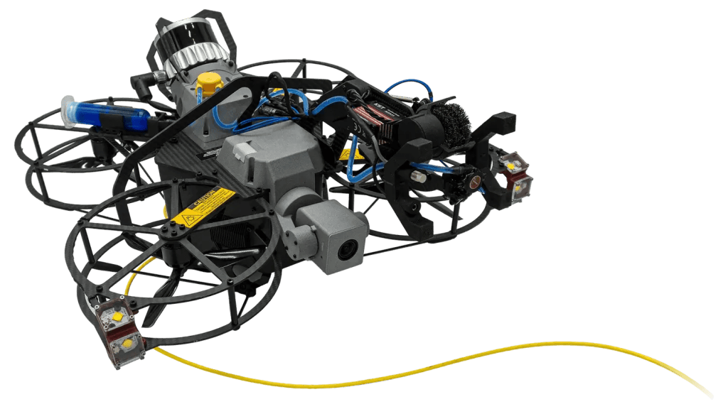
Scout 137 Gen 3
A tethered drone system for confined spaces without GPS, flying without time limits and delivering clean inspection data.
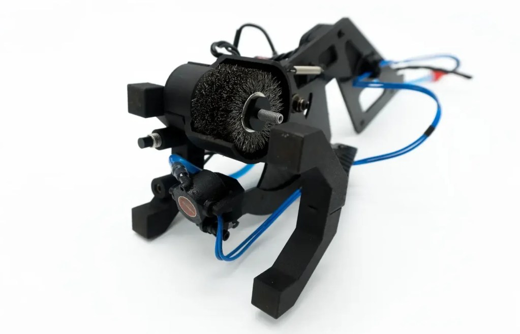
UTM Payload
Ultrasonic thickness measurement during flight, combining surface prep and UTM in one controlled workflow.
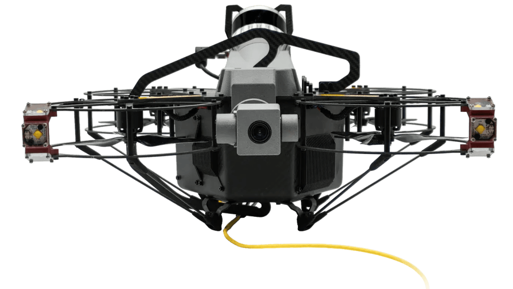
4K Zoom Camera
Survey-grade visual detail with optical zoom, made for dark, dusty, confined environments.
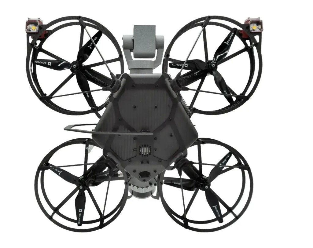
Gas Sensor
Flammable-gas detection on board the drone (NevadaNano MPS, 14 gases) with live telemetry before anyone enters.
Scout Portal
The cloud platform for live streaming, managing inspection data and sharing it with stakeholders.
Scout Viewer
A Windows and Android app for reviewing inspection data straight from the drone, fully offline.
Request Your LiDAR Scanning Drone Quote
Share your details and our engineering team will contact you with pricing, availability and technical guidance for GPS-free 3D mapping of confined industrial assets.