
Hovermap S-TX

Hovermap™ is an advanced autonomous LiDAR mapping payload designed for drones and handheld operation. It enables fast, accurate 3D mapping in environments where GPS is unavailable or unreliable. Using SLAM-based LiDAR technology, Hovermap captures dense point cloud data while navigating complex spaces safely and efficiently.
Hovermap S-TX
Hovermap™ is an advanced autonomous LiDAR mapping payload
designed for drones and handheld operation. It enables fast,
accurate 3D mapping in environments where GPS is unavailable
or unreliable.
Using SLAM-based LiDAR technology, Hovermap captures dense
point cloud data while navigating complex spaces safely and efficiently.
Why Hovermap?
Reliable mapping without GPS
Captures accurate LiDAR data in underground, indoor, and complex environments where GNSS is unavailable.

Autonomous and safe operation
Uses SLAM-based navigation and real-time obstacle avoidance to operate safely in confined spaces.

High-quality 3D data
Delivers dense point clouds suitable for surveying, inspection, and engineering workflows.

Flexible deployment
Can be used on drones, handheld systems, or vehicles to match different mission requirements.
Exceptional Versatility
Hovermap is designed for flexible use in changing environments.
It can be deployed as:
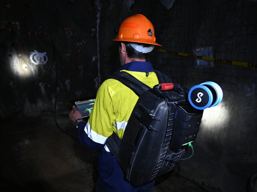
- A handheld scanner
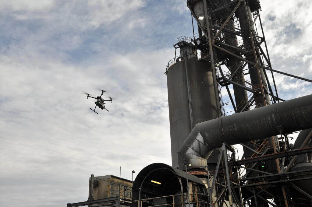
- A drone-mounted payload
- A vehicle or pole-mounted system
- A backpack or cage-lowered solution
Its compact and lightweight design allows fast setup, easy transport, and longer flight times.
Sub-Centimeter Accuracy
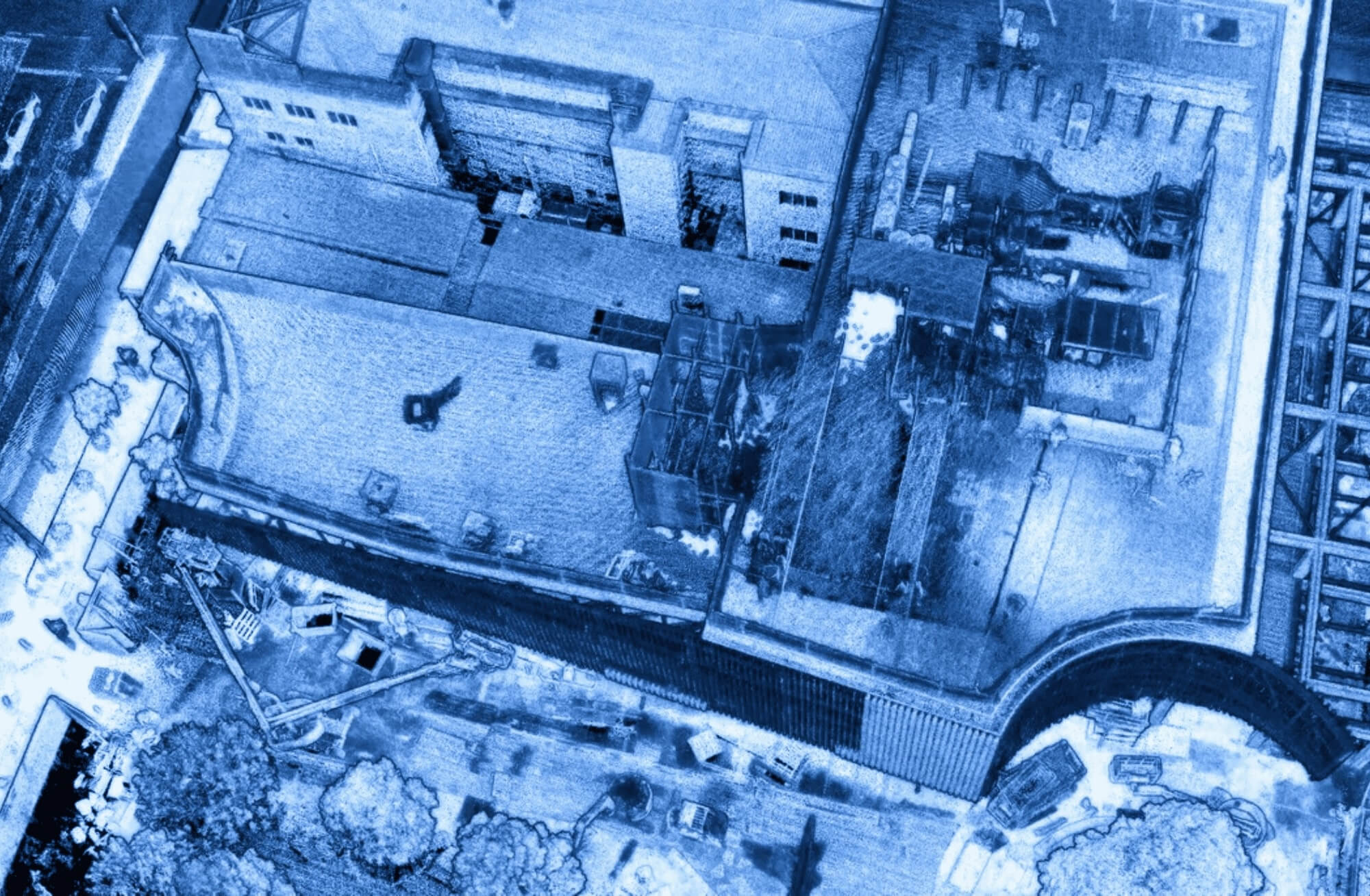
Hovermap delivers survey-grade LiDAR data with high precision.
- Sub-centimeter accuracy
- Reduced drift and mapping errors
- Stable SLAM-based point clouds
Automated Ground Control improves accuracy in complex environments.Hovermap is designed for flexible use in changing environments.
Operates Without GPS
Hovermap uses advanced SLAM technology to operate without GNSS.
- No GPS required
- Reliable navigation in tunnels, caves, and indoor spaces
- Consistent mapping accuracy in GPS-denied environments
This ensures safe and autonomous data capture at all times.
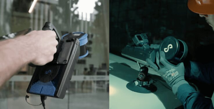
Effortless Training, Use, and Deployment
Hovermap is designed for fast adoption by field teams.
- One-button data capture
- Plug-and-play setup
- Minimal training required
This reduces setup time and simplifies daily operations.
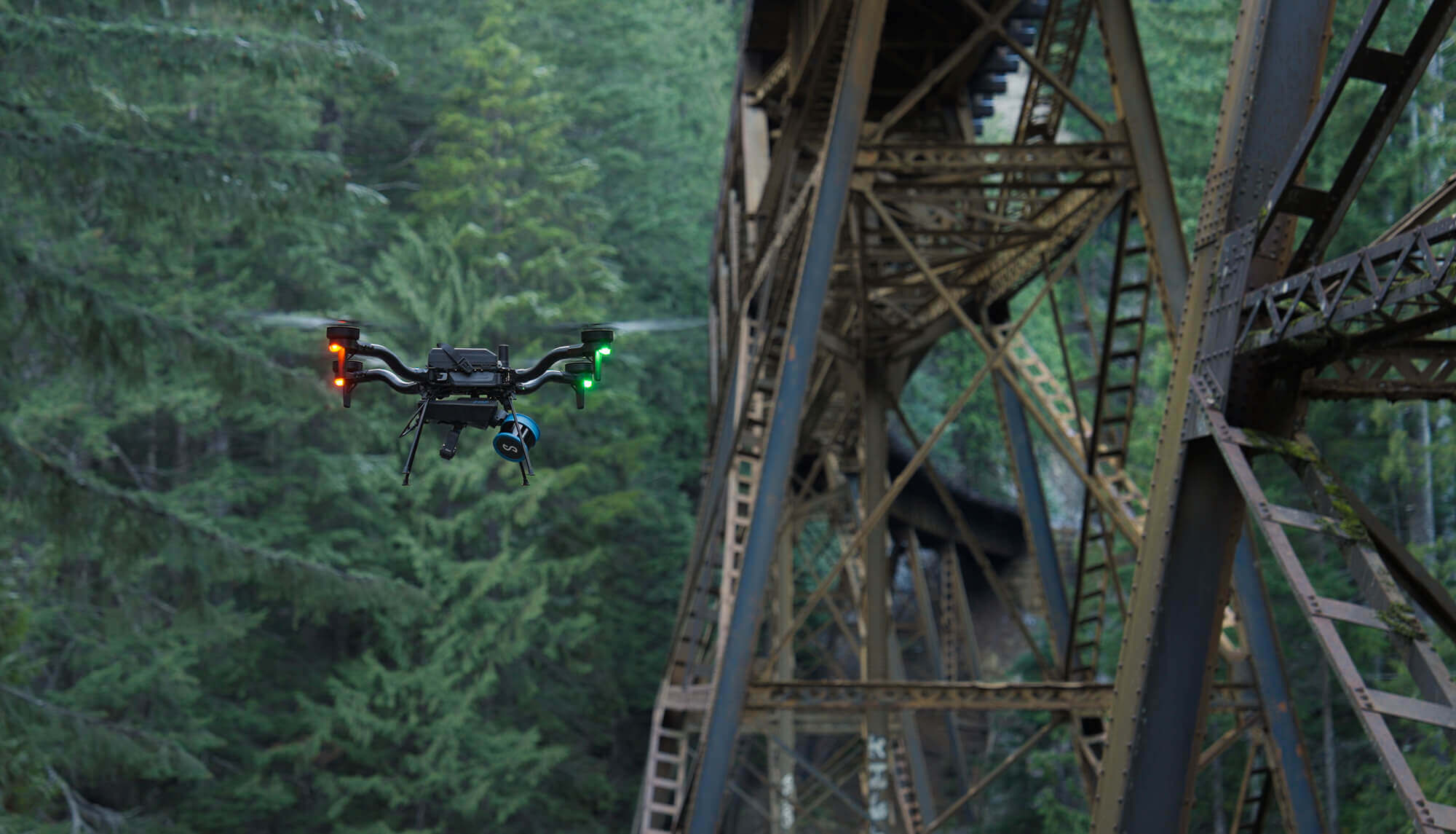
Performs in Complete Darkness
Hovermap delivers reliable LiDAR scans in zero-light conditions.
- No external lighting required
- Consistent scan quality
- Suitable for underground and enclosed spaces
This ensures uninterrupted data collection in all environments.
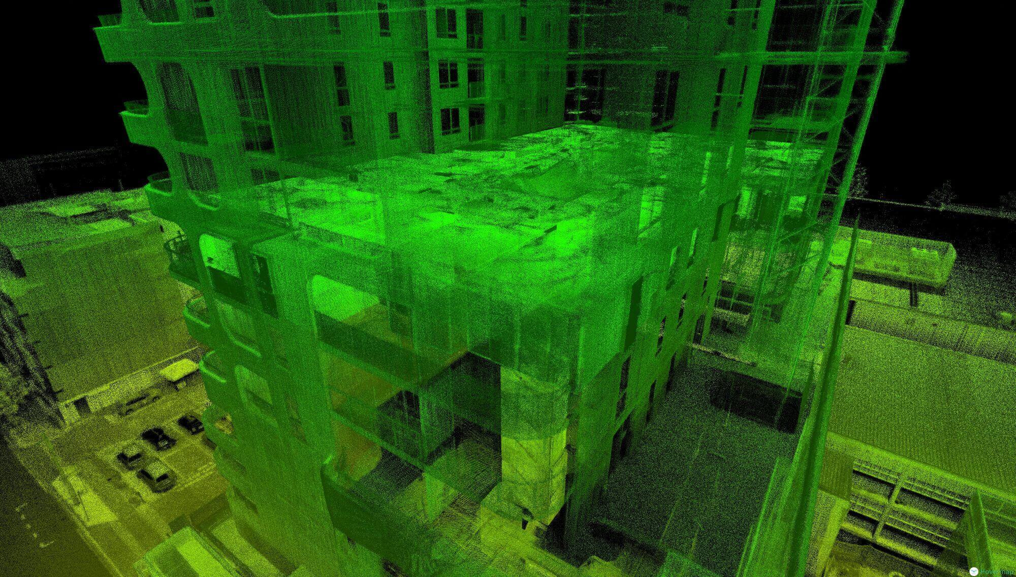
Adaptive and Contextual Data Capture
Hovermap supports advanced data visualization and measurement. Users can:
- Add color, overlays, and annotations
- Create animations for better context
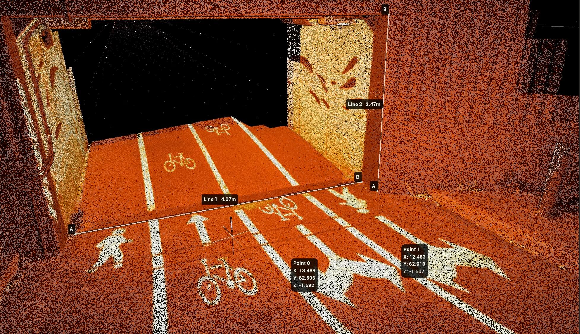
- Capture distances, widths, and volumetric measurements
This helps both on-site teams and remote stakeholders understand the environment clearly.

Multi-Layered Data Analysis
Hovermap enables deeper analysis through intelligent data filtering.
- Filter data by time, height, or intensity
- Highlight surface and reflectivity variations
- Detect issues such as oil or chemical contamination
This helps uncover insights that may not be visible in standard scans.
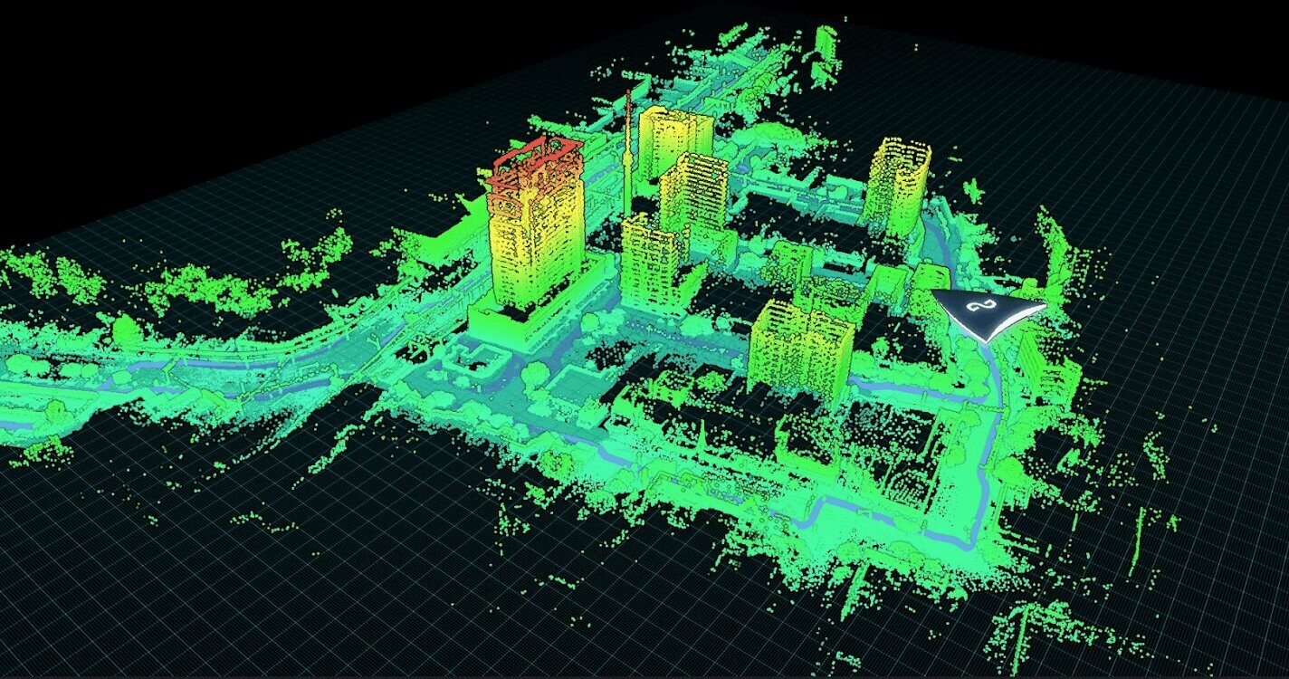
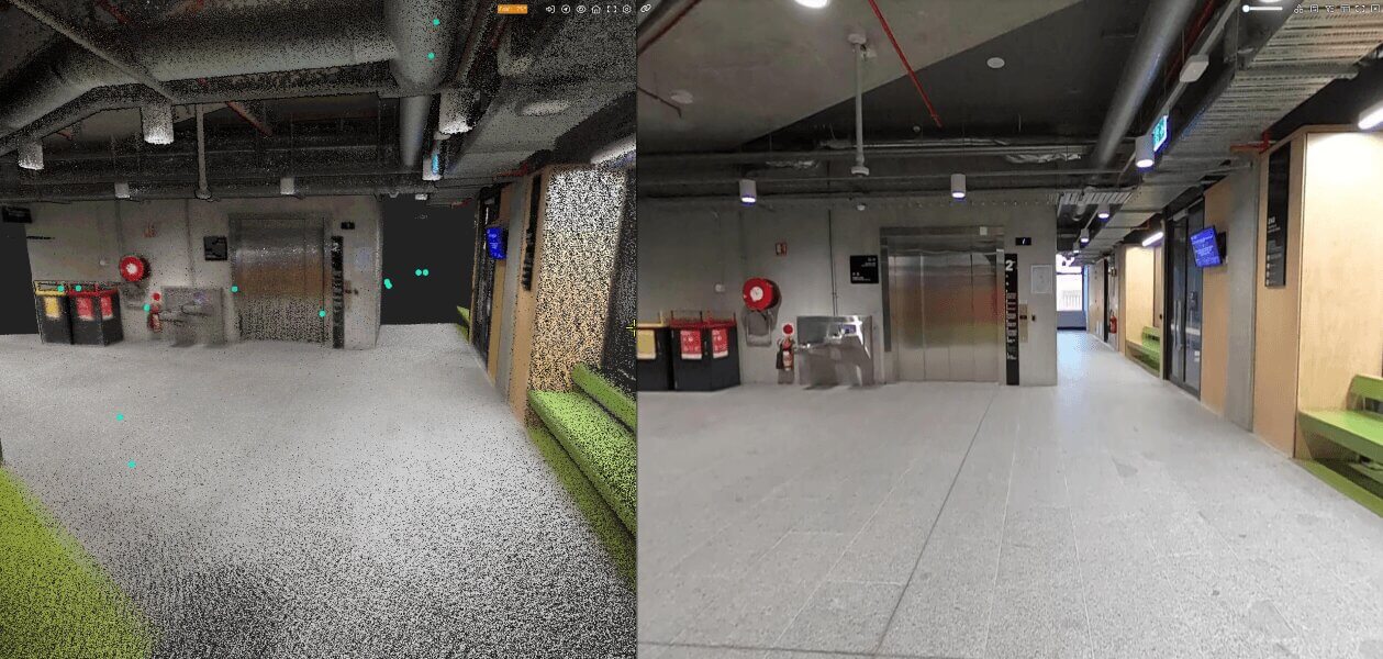
Operational Planning and Rehearsals
Use 3D maps to reduce risks and support scenario-based training.
Site Exploitation and Forensics
Produce accurate digital twins for evidence analysis and operational planning.
CBRNe / HAZMAT Incident Management
Build 3D models to enhance situational awareness and highlight unscanned areas.
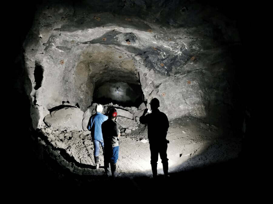
Search and Rescue
Detect environmental changes and map hazardous terrain safely.
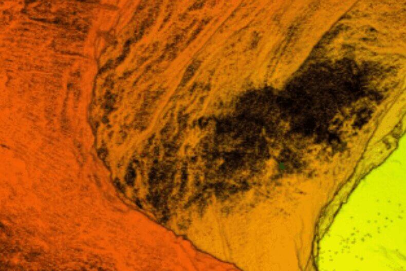
Bomb Response / EOD
Generate a complete 3D scene view for mission planning and evidence tracking. Use change detection to identify post-blast differences.
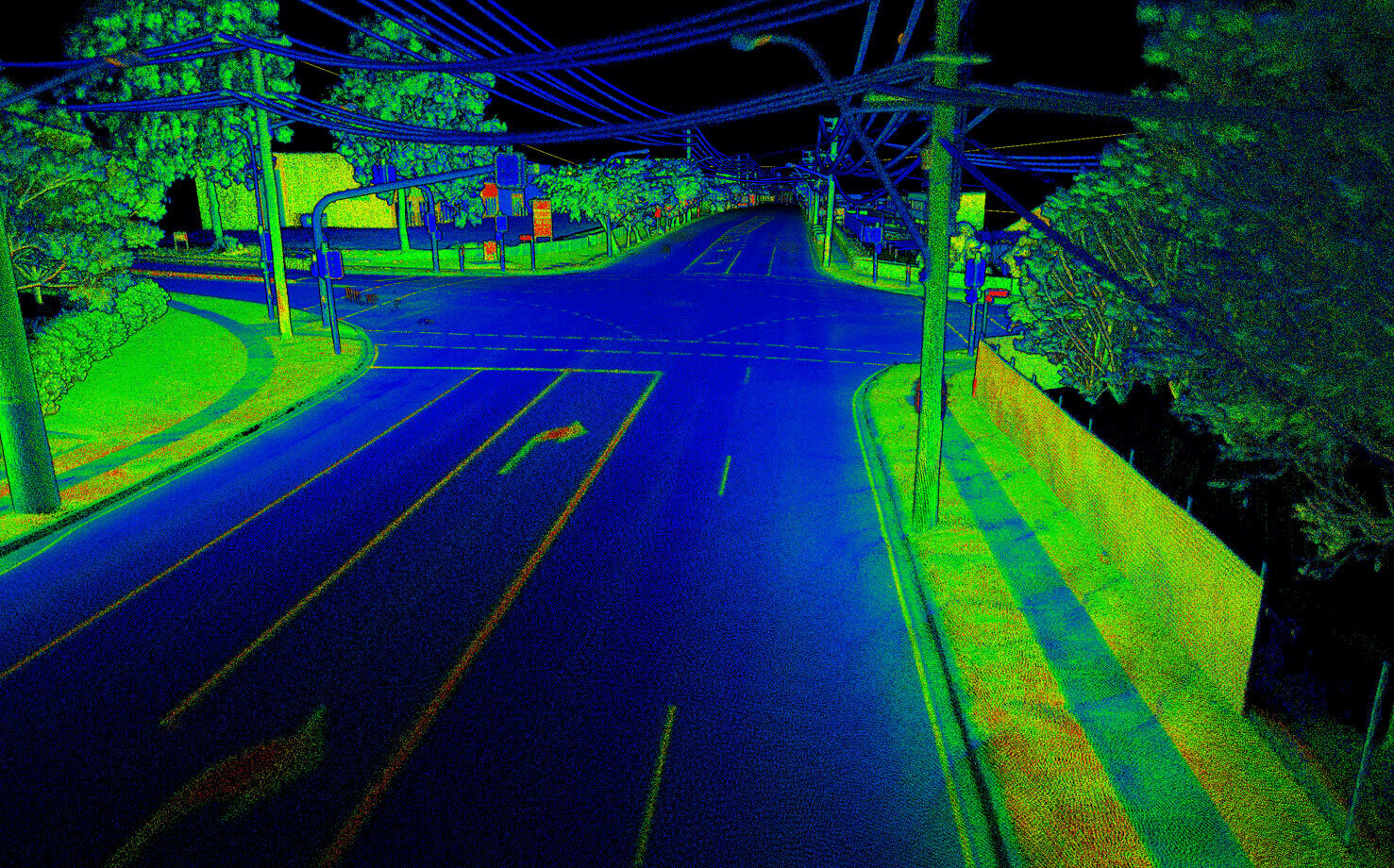
Active Assailant Preparedness
Create annotated 3D building models showing sightlines and key details.
Share models and animations across agencies—no specialized software needed.
Frequently Asked Questions about Hovermap
No. Hovermap uses SLAM technology and operates without GPS.
Yes. Hovermap delivers reliable scans even in zero-light conditions.
High-resolution 3D point clouds compatible with CAD, BIM, and GIS software.
Mining, construction, oil and gas, utilities, environmental monitoring, and emergency response.
Speed depends on environment complexity, but Hovermap collects dense point clouds efficiently, reducing field time.
AURA
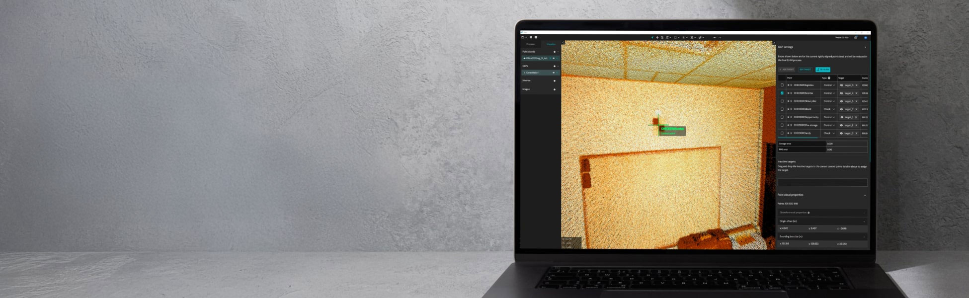
Unlock unprecedented flexibility
with User Selected Targets.
AURA
Unlock unprecedented flexibility
with User Selected Targets.
Take your Hovermap data
further with Emesent Aura.
Emesent Aura processes Hovermap scans efficiently and accurately. Benefits include: Easy visualization and analysis
for on-site and remote teams Automated noise reduction and data enhancement Intelligent processing for fast,
accurate 3D outputs. Compatible with drone, handheld, backpack, or vehicle scans
Why Aura?
Unlimited processing power
Process as many scans as you want — no hidden costs, no per-sqm limits. Your Aura license gives you full, unrestricted access to data processing and visualization, from any device and by any team member, wherever they are.

Smart automation for seamless workflows
Let Aura handle the complex tasks. With intelligent automation, it refines your Hovermap data and enhances SLAM accuracy, delivering consistent, high-quality results with minimal effort.

Precision made simple
Achieve pinpoint accuracy through automated georeferencing, non-rigid drift correction, and RTK-level precision. Aura ensures every scan is perfectly aligned — even in GPS-challenged or complex environments.

Flexible by design
Use your own control targets, reuse existing ones, or opt for Emesent’s targets. Aura adapts effortlessly to any capture method, offering the same unmatched flexibility and performance that define Hovermap.
Precision Made Simple
Hovermap is designed for flexible use in changing eAura removes the complexity from georeferencing with automated accuracy enhancements that ensure your Hovermap data is perfectly aligned and optimized — quickly and effortlessly.
Verified accuracy: Built-in checkpoint validation and detailed error reports ensure confidence in every final output.
Automatic georeferencing & drift correction: Forget manual GPS entries and tedious corrections — Aura handles it all, saving valuable time and improving precision.
Smart scan alignment: Effortlessly merge multiple datasets into a unified, detailed point cloud with minimal manual effort.
Non-rigid merging: Combine multiple captures into one seamless, consistent dataset for enhanced quality.
High-precision RTK integration: Achieve centimeter-level accuracy above ground without relying heavily on physical control points.
Next-Level Visualization
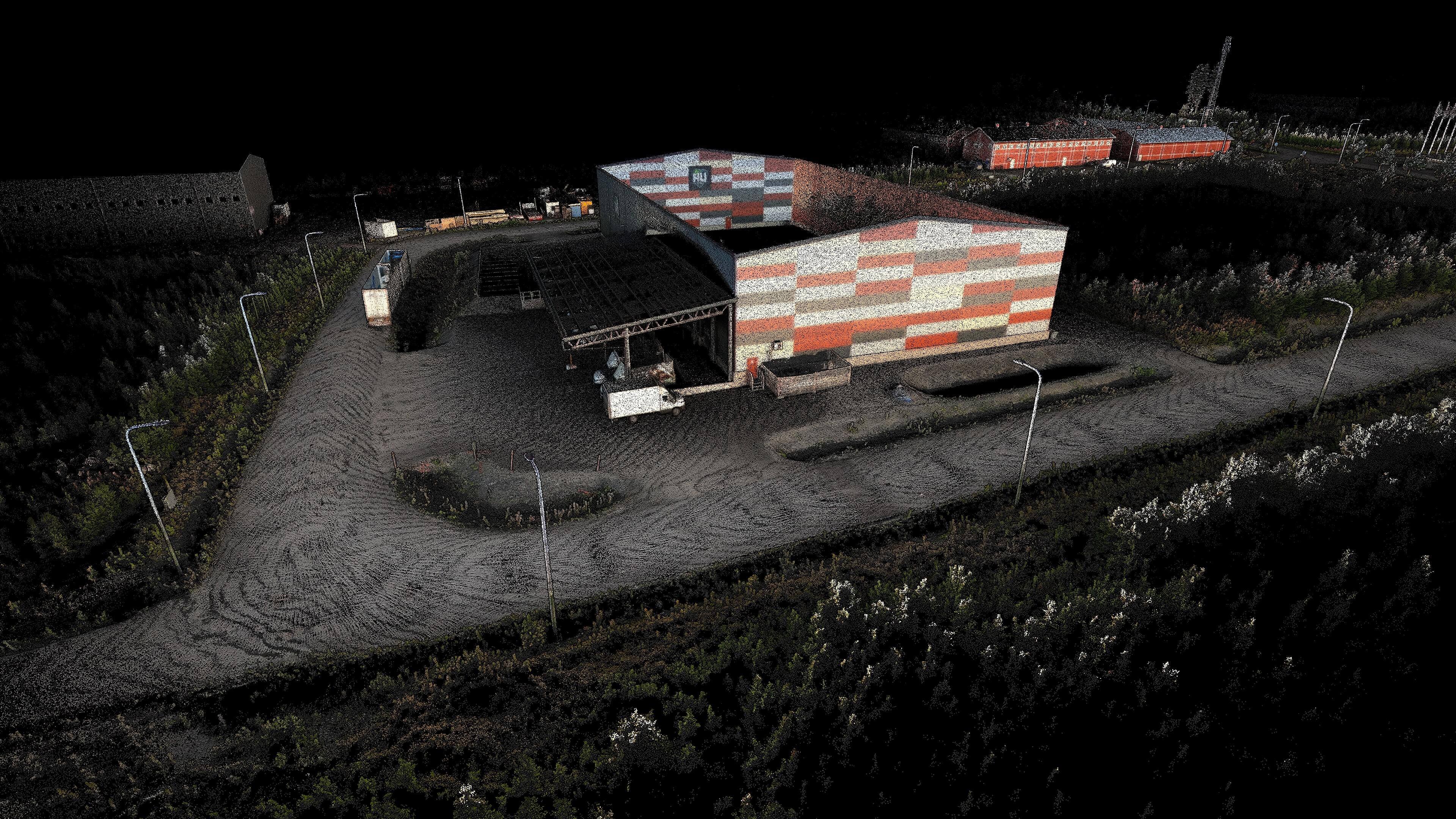
Hovermap delivers survey-grade LiDAR data with Visualize your 3D data with clarity and depth through Aura’s powerful rendering and enhancement features that make complex datasets easier to understand and use.
Change detection tools – Track and compare environmental or underground variations with precision (optional feature).
360° colorization – Add lifelike realism to your point clouds with rich, true-to-scene coloring.
Panoramic imaging – Capture and export immersive 360° visuals for greater context and analysis.
Dynamic color filters – Instantly visualize metrics like elevation, intensity, and distance.

Built for Your Workflow
Aura adapts to your project’s demands, offering unmatched flexibility and value with unlimited usage and collaborative capabilities.
Custom targeting options – Use any visible feature as a control point, or choose Emesent’s reflective targets for faster, automated alignment.
Unlimited processing – No hidden fees, no area limits — process as much data as you need.
Collaborative access – One license supports multiple users and devices, ensuring smooth teamwork.
Multi-source compatibility – Process data from handheld, drone, backpack, or vehicle captures — all within one platform.
Order the Hovermap Today!
For more information about the product demo or trial,
fill in the form below please