

DJI Terra
DJI Terra is a mapping and 3D reconstruction software platform designed to transform aerial data into accurate geospatial outputs. Supporting advanced reconstruction technologies, including 3D Gaussian Splatting, it enables efficient generation of high-quality 2D maps, 3D models, and LiDAR-based deliverables. When paired with DJI drones and LiDAR systems, DJI Terra streamlines the entire workflow from data capture to processing and analysis, helping organizations improve surveying efficiency, data accuracy, and decision-making.

Photorealistic Gaussian Splatting

Photogrammetry, Trusted Precision

Multispectral Reconstruction
for Agriculture

LiDAR Reconstruction, Broad Applications

Cluster Reconstruction,
Superior Efficiency

Integrated Aerial Survey
(Hardware + Software)
Photorealistic Gaussian Splatting
High-Fidelity 3D Models with Enhanced Detail
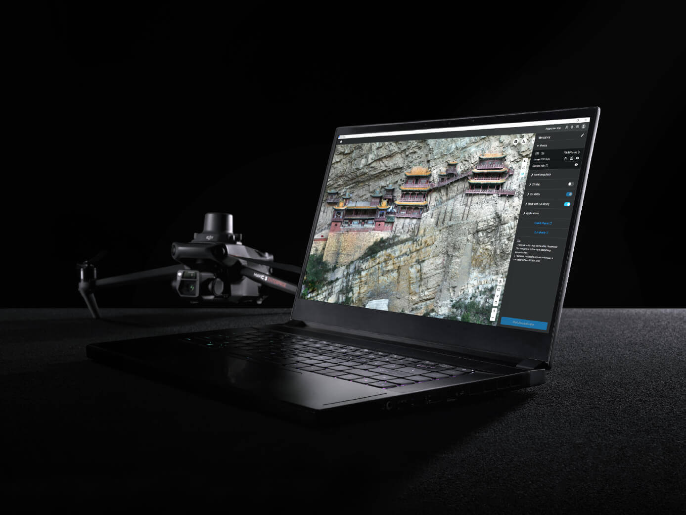
DJI Terra leverages 3D Gaussian Splatting technology to generate highly realistic 3D models from aerial imagery with greater efficiency. The technology improves the representation of complex features, including fine structures, reflective surfaces, and vegetation, while producing more natural and visually accurate results. It also supports the generation of high-quality orthomosaics, enhancing the overall value of geospatial deliverables.

Greater Efficiency for Large-Scale Modeling Projects
Advanced processing capabilities enable DJI Terra to accelerate 3D reconstruction workflows for large datasets. By transforming aerial imagery into actionable 3D models more quickly, organizations can shorten project timelines, improve productivity, and accelerate decision-making across surveying and mapping operations.
City-Scale Reconstruction for Complex Environments
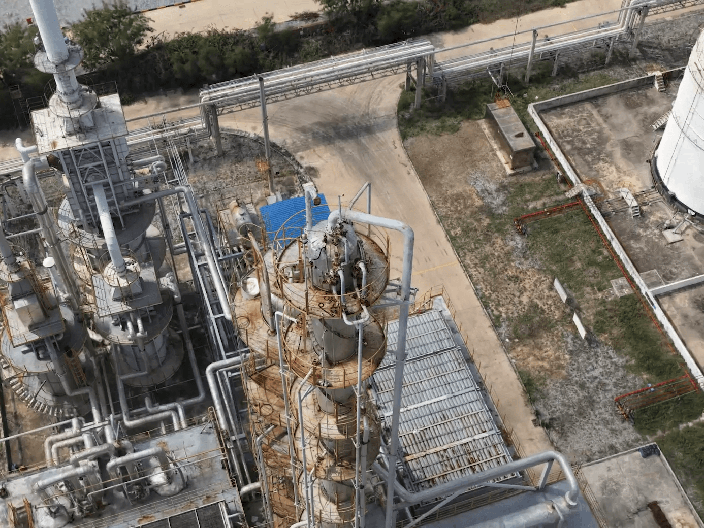
DJI Terra supports the creation of large-scale 3D models for urban environments, industrial facilities, and infrastructure projects. Its efficient resource utilization allows organizations to process extensive datasets and generate accurate digital representations that support asset management, digital transformation initiatives, and smart city applications.
Simple Workflow with Accessible Hardware Requirements
Designed for ease of use, DJI Terra provides a streamlined reconstruction workflow with lower hardware requirements compared to traditional modeling solutions. This enables organizations to adopt advanced 3D reconstruction technologies without investing in specialized high-performance computing infrastructure.
Flexible Data Outputs for Seamless Integration
DJI Terra supports industry-standard 3D data formats, enabling seamless integration with third-party platforms and enterprise workflows. Standardized outputs simplify data sharing, improve interoperability, and allow organizations to extend the value of geospatial data across surveying, engineering, asset management, digital twin, and visualization applications.
Order the DJI Terra Today!
For more information about the product demo or trial,
fill in the form below please

