

Zenmuse P1
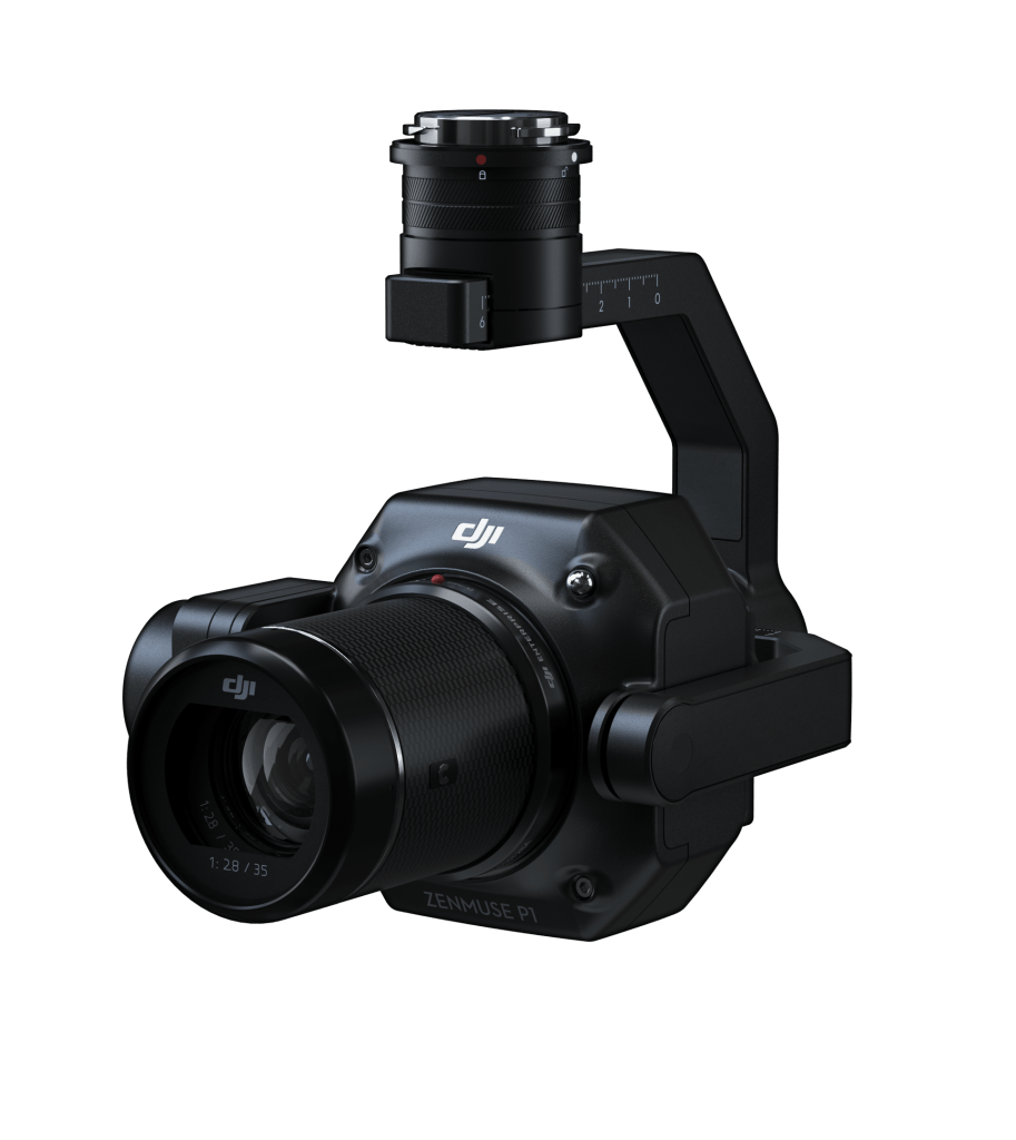
DJI’s advanced aerial photogrammetry solution combines a full-frame sensor with interchangeable fixed-focus lenses to deliver high-accuracy mapping and surveying. Mounted on a 3-axis stabilized gimbal, the Zenmuse P1 captures detailed geospatial data with remarkable efficiency, significantly reducing mission times while maintaining survey-grade accuracy. Built for large-scale mapping operations, it enables faster data collection and reliable results across construction, infrastructure, mining, and land surveying projects.
Zenmuse P1
DJI’s advanced aerial photogrammetry solution combines a full-frame sensor with interchangeable fixed-focus lenses to deliver high-accuracy mapping and surveying. Mounted on a 3-axis stabilized gimbal, the Zenmuse P1 captures detailed geospatial data with remarkable efficiency, significantly reducing mission times while maintaining survey-grade accuracy. Built for large-scale mapping operations, it enables faster data collection and reliable results across construction, infrastructure, mining, and land surveying projects.


Accuracy without GCPs
3 cm horizontally / 5 cm vertically [1]

High Efficiency
3 km2 covered in a single flight [2]

45 MP Full-frame Sensor

3-axis Stabilized Gimbal
Smart Oblique Capture

Global Mechanical Shutter [3]
Shutter Speed 1/2000 Seconds

TimeSync 2.0 – synchronization
at the microsecond level
Advanced Aerial Photogrammetry Solution

High-Efficiency Data Collection
The Zenmuse P1 features a full-frame, high-sensitivity sensor with low-noise performance, enabling image capture at intervals as fast as 0.7 seconds during flight. This allows operators to efficiently cover areas of up to 3 km² in a single mission under suitable operating conditions.
Reliable Survey-Grade Accuracy
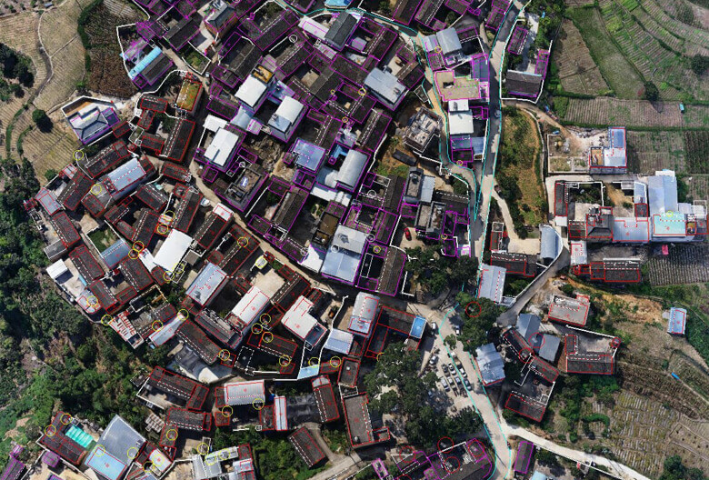
Equipped with a global mechanical shutter and DJI’s TimeSync 2.0 system, the Zenmuse P1 provides precise time synchronization across system modules at the microsecond level. Combined with real-time position and orientation compensation, it supports the collection of highly accurate geospatial data.
Flexible Mapping and Modeling Capabilities
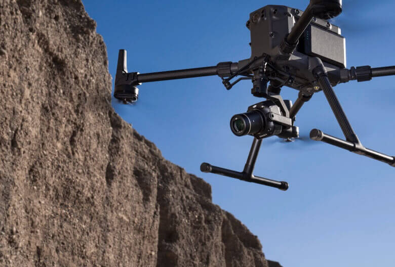
Designed for a wide range of surveying applications, the Zenmuse P1 supports the creation of 2D maps, 3D models, and detailed digital reconstructions. Its integrated 3-axis gimbal supports 24 mm, 35 mm, and 50 mm lenses, while Smart Oblique Capture helps streamline data collection for complex modeling projects.
Efficiency to Cover More Ground
45 MP Full-Frame Sensor
Capture high-quality imagery with a 45 MP full-frame sensor, 4.4 μm pixel size, and low-noise performance for reliable data collection throughout the day.
Fast Image Capture
Take photos at intervals as fast as 0.7 seconds to improve survey efficiency and mission productivity.
TimeSync 2.0
Synchronizes the camera, flight controller, RTK module, and gimbal at the microsecond level for accurate geospatial data capture.


Flexibility for Every Mission
Multiple Lens Options
Supports 24 mm, 35 mm, and 50 mm lenses with DJI DL mounts to adapt to different surveying requirements.
Global Mechanical Shutter
Features a global mechanical shutter with speeds up to 1/2000 second to help maintain image accuracy during flight.
Precise Exposure Timing
Microsecond-level exposure synchronization supports accurate alignment between imagery and positioning data.
Smart Oblique Capture
Increase the efficiency of oblique mapping missions with Smart Oblique Capture. The gimbal automatically adjusts to capture images from the required angles, while minimizing unnecessary photos at the edges of the survey area. This helps streamline data collection and can significantly reduce post-processing time.
Order the DJI Zenmuse P1 Today!
For more information about the product demo or trial,
fill in the form below please