
Payloads
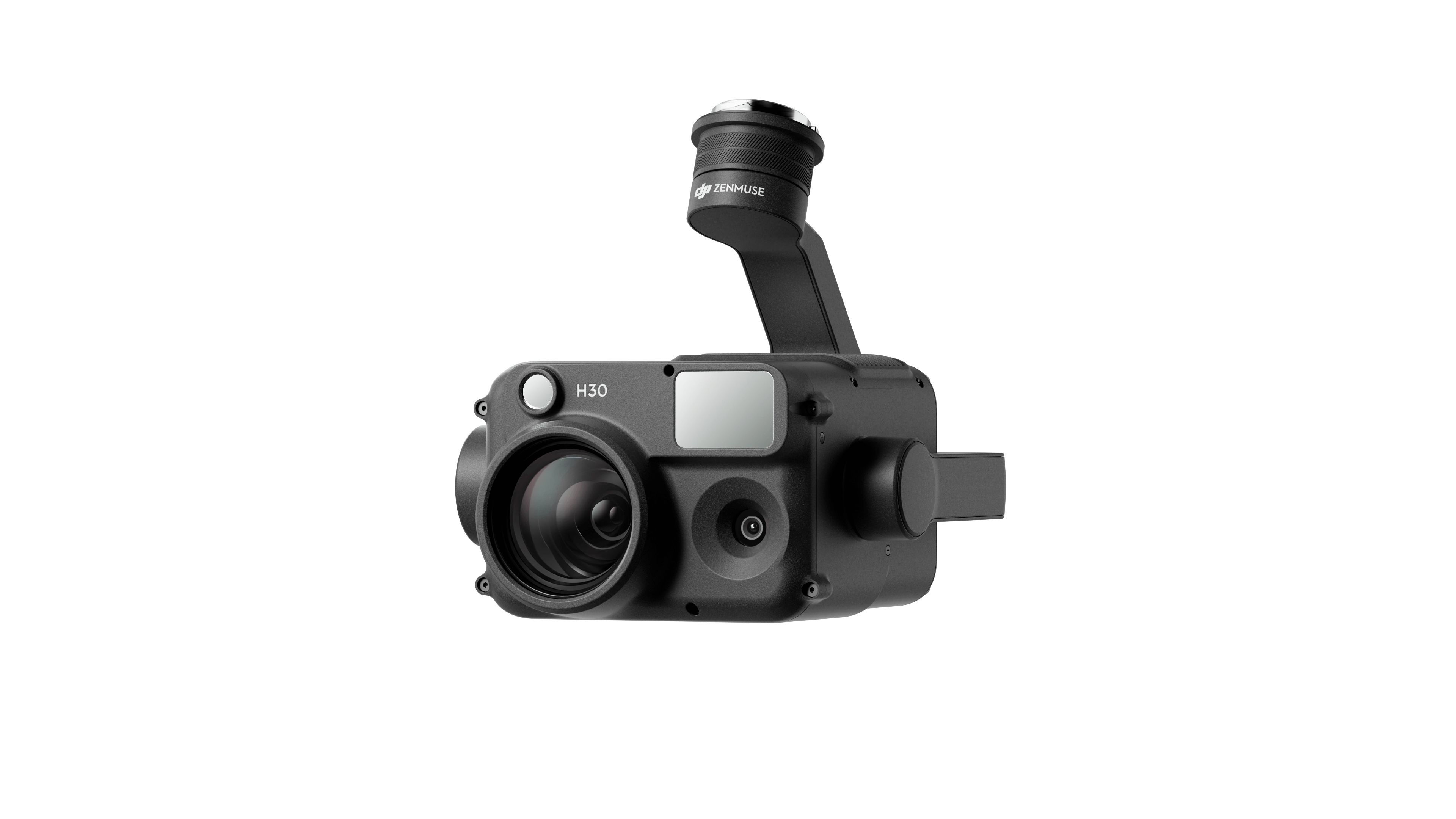
Zenmuse H30T
Introducing the Zenmuse H30 Series, a groundbreaking innovation in aerial imaging technology that redefines the boundaries of what’s possible from above. Designed for all-weather, full-day operations, this multi-sensor flagship payload represents the pinnacle of integration and versatility.Higher Integration:Zenmuse H30 Series integrates five major modules, a wide-angle camera, a zoom camera, an infrared thermal camera, a laser range finder, and an NIR auxiliary light.
- 1/1.3-inch CMOS, effective pixels 48MP
- Equivalent focal length: 24mm
- Provides better auxiliary illumination for zoom camera
- NIR band, wavelength of 850nm
- Provides better auxiliary illumination for zoom camera
- 34x optical zoom, 400x max digital zoom
- Measurement range: 3-3000m (~9842 ft)
- Photo resolution: 1280×1024
- Equivalent focal length: 52mm
Zenmuse H30
The DJI Zenmuse H30 Series (H30 / H30T) is a flagship multi-sensor payload combining wide-angle, zoom, laser rangefinding, and NIR (and thermal in H30T) modules. Designed for versatile aerial imaging and inspections, it is fully compatible with the Matrice 350 RTK, offering all-weather, high-resolution performance for critical operations.
- NIR band, wavelength of 850nm, invisible to the human eye
- 1/1.8-inch CMOS, effective pixels 40MP
- Measurement range: 3-3000m (~9842 ft)
- Full-color night vision with noise reduction
- Video pre-recording
- 1280×1024 resolution
- Smart Capture for better imaging
- Electronic Dehazing for higher clarity
- IP54 IP rating
- Operating temperature: -20℃ to 50℃ (-68°F to 122°F)
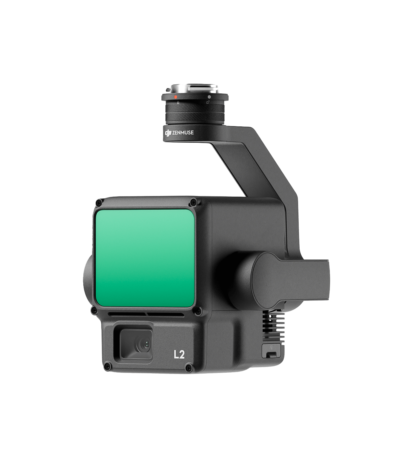
Zenmuse L2
The DJI Zenmuse L2 is a high-performance LiDAR payload, integrating a Livox LiDAR module, RGB mapping camera, and precision IMU on a 3-axis stabilized gimbal. Fully compatible with the Matrice 350 RTK, it delivers survey-grade accuracy and fast startup—ideal for 3D terrain mapping in vegetated or complex environments.
- Point range of 240,000 point clouds
- Point Cloud LiveView
- Operating are – 2.5 km2
- Support 5 returns
- No need of IMU warm up before take off
- Laser range support up to 450m
- Mechanical shutter life – 200,000 times
- Repetitive and non-repetitive scanning
- A high-accudacy IMU system
- RGB mapping camera (4/3 CMOS, 20 MP)
- One click processing on DJI Terra
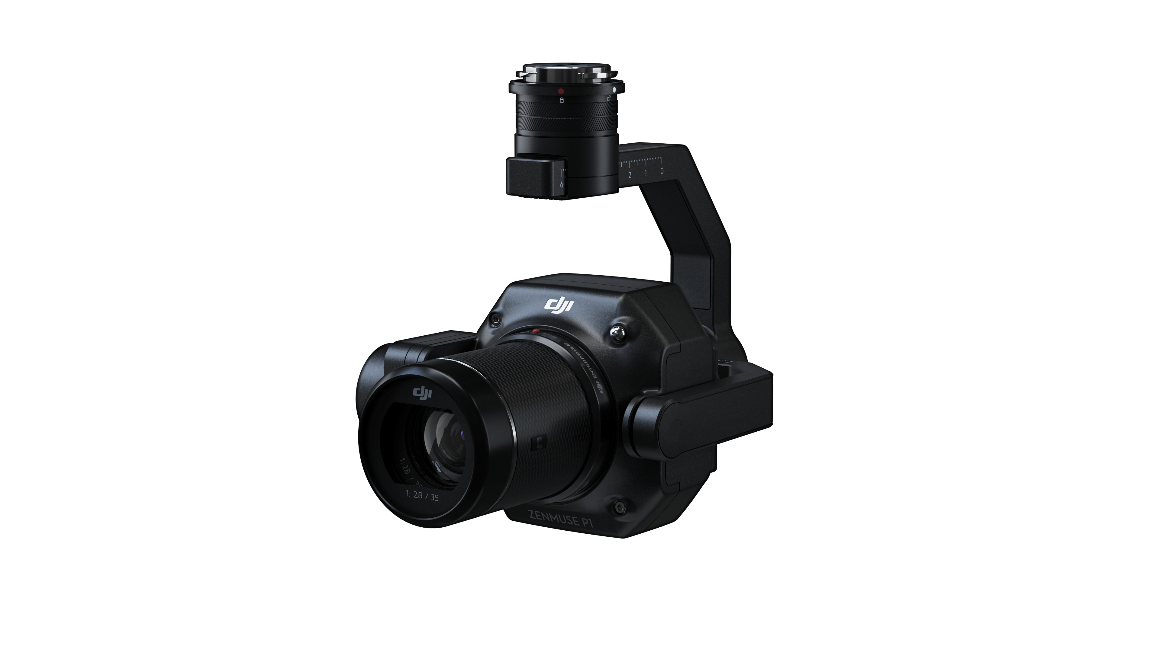
Zenmuse P1
The DJI Zenmuse P1 is a next-generation photogrammetry payload, featuring a full-frame 45MP sensor with interchangeable fixed-focus lenses on a 3-axis stabilized gimbal. Designed for large-scale aerial surveying and mapping, it delivers survey-grade accuracy and unmatched efficiency when paired with the Matrice 350 RTK, making it an essential tool for professional geospatial and engineering applications.
- Efficiency through Flexible Full-frame Photogrammetry
- 45 MP Full-frame Sensor
- 4.4μm Pixel Size
- Multiple Fixed-Focus Lens 24/35/50 mm
- 60 fps Video Capture
- Global Mechanical Shutter
- 3-axis Stabilized Gimbal
- Smart Oblique Capture
- IP4X Ingress Protection Level
- TimeSync 2.0

Zenmuse V1
Zenmuse V1 is DJI’s first drone-mounted directional speaker system designed for clear audio transmission during aerial operations. It supports directional recording, environmental noise cancelation, and clear voice broadcasting through various modes.
- Multiple Broadcast Modes
- Powerful Sound
- Clear, Directional Recording
- Precise Control, Targeted Broadcast
- Reliable and Intuitive
- Flexible Mounting, Lightweight Build
- Ideal for use in emergency communication, crowd guidance, and public safety missions.
- Integrated with RC Plus for precise directional control and consistent clarity.
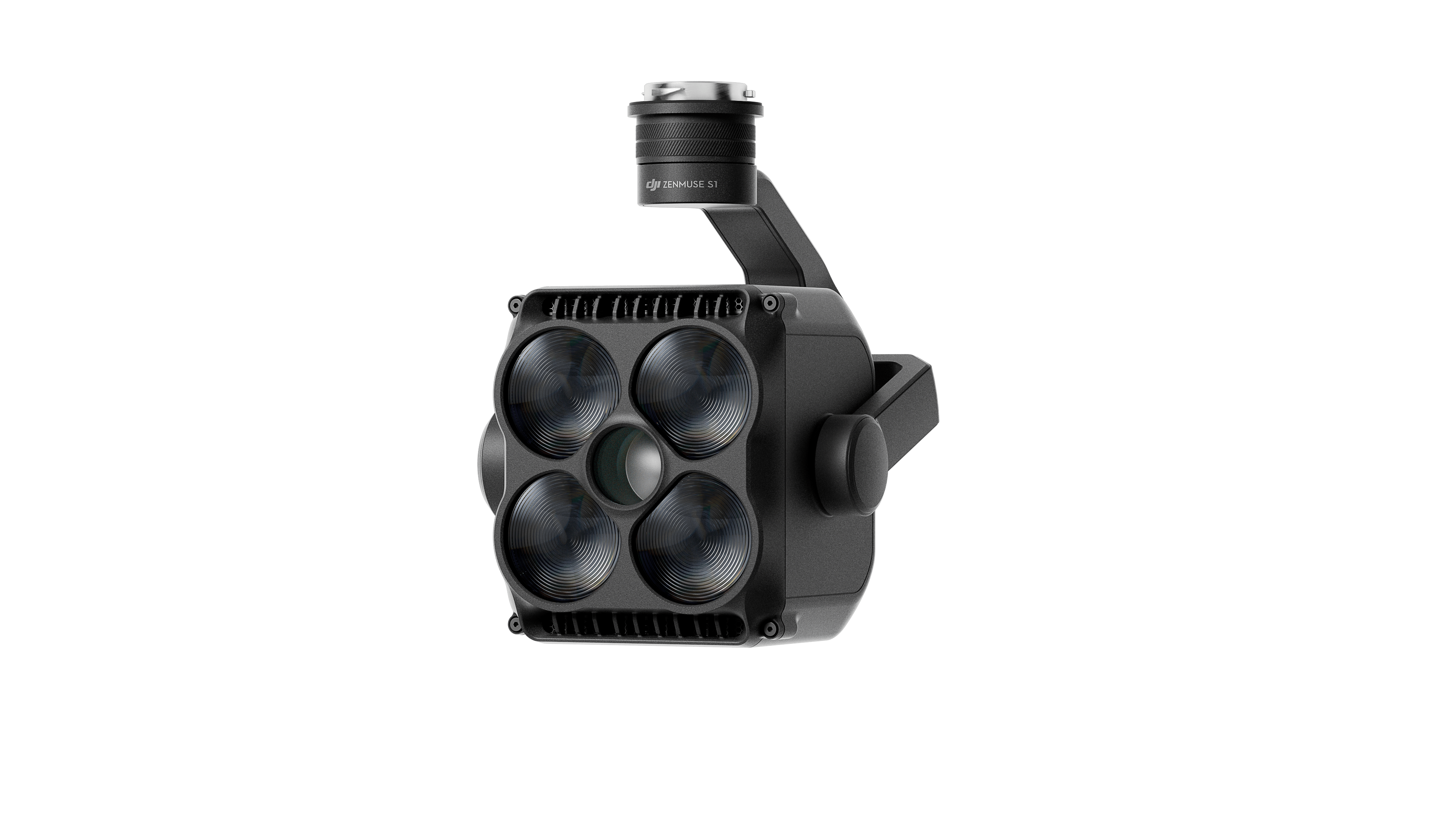
Zenmuse S1
The DJI Zenmuse S1 is the first drone-mounted spotlight payload, powered by LEP (Laser Excited Phosphor) technology for powerful long-range illumination. Fully compatible with the Matrice 350 RTK, it offers four lighting modes designed for search and rescue, inspection, and security missions, combining energy efficiency with reliable dual-light performance.
- Multiple Lighting Modes
- Brightness Meets Energy Efficiency
- Reliable and Intuitive
- Durable, Dual-Light Design
- Low Beam Mode: Wide-angle coverage for close-range search tasks.
- High Beam Mode: Focused, high-intensity light for long-distance visibility.

Zenmuse L3
The DJI Zenmuse L3 redefines LiDAR mapping with a 1535nm long-range LiDAR and dual 100MP RGB cameras, delivering high accuracy and efficiency. Designed for performance and reliability, it captures detailed data over 100 km² per day — providing a seamless, end-to-end mapping solution.
- 1535nm Long-Range LiDAR
- Dual 100MP RGB Mapping Camera System
- High Accuracy
- High Penetration
- Up to 100 km² Coverage per Day
- End-to-End Solution

Hovermap
Hovermap is Emesent’s cutting-edge LiDAR payload for drones and mobile platforms, delivering survey-grade 3D mapping in GPS-denied or hazardous environments. Designed for versatility, it supports autonomous navigation, real-time point cloud visualization, and flexible deployment on drones, vehicles, or handheld.
- High-Resolution LiDAR: Generates detailed, survey-grade 3D point clouds.
- Autonomous Navigation: SLAM-based autonomy for GPS-denied environments.
- Versatile Deployment: Use on drones, vehicles, backpacks, or handheld.
- Real-Time Data: Instant 3D point cloud visualization.
- Rugged Design: Reliable in mining, forestry, construction, and inspection.
Acessories
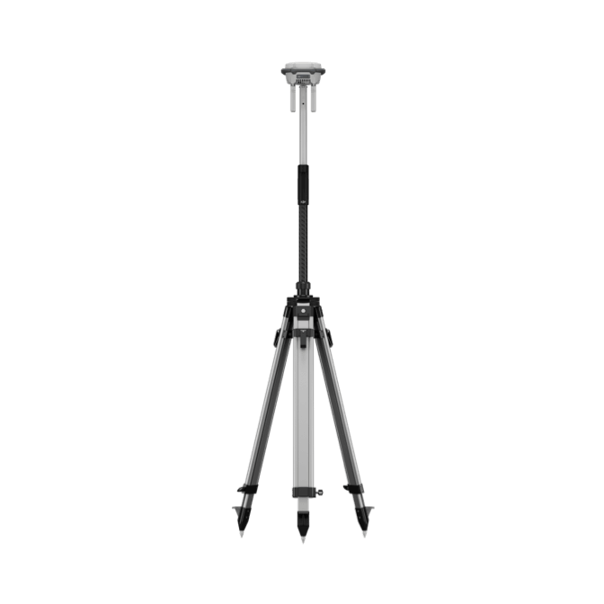
D-RTK 3
Introducing the DJI D-RTK 3 Multifunctional Station a versatile solution for high-precision positioning and extended operational range in drone applications.
- Relay Station Mode [2] : Break Through Limitations
- Rover Station Mode: Flexible and Efficient
- Standalone Precise Point Positioning (PPP)
- Network High-Precision Calibration