
THE PLATFORM
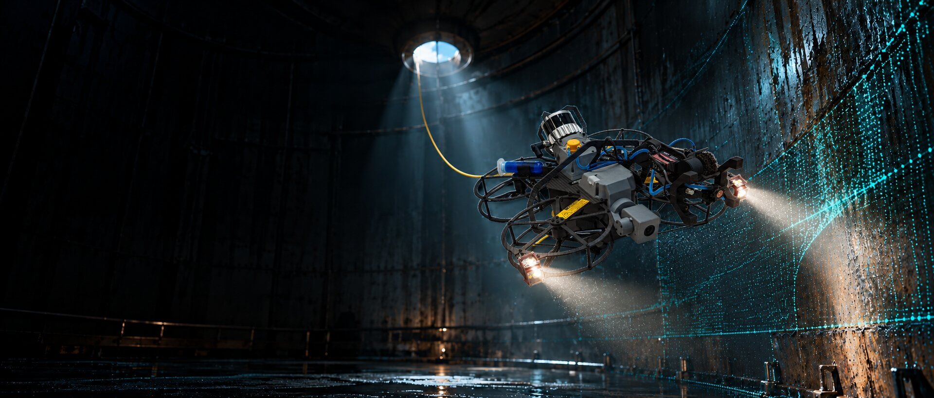
One Drone for Every Confined Space.
Tethered. Unlimited. Built for contact.
Made for assets where GPS fails, light is absent and contact is unavoidable one platform, four payloads, one tablet.
THE PLATFORM
One Drone for Every Confined Space.
Tethered. Unlimited. Built for contact.
Made for assets where GPS fails, light is absent and contact is unavoidable one platform, four payloads, one tablet.
600 mm
Minimum Opening
Unlimited
Flight Time
Hot-Swap
Payload Bays
GPS-Free SLAM
Localisation
12,000 lm
Lighting
Why It Works
Built for assets other drones can’t reach. Five design choices change what’s possible inside confined industrial spaces.
Unlimited Flight Time, Zero Stress
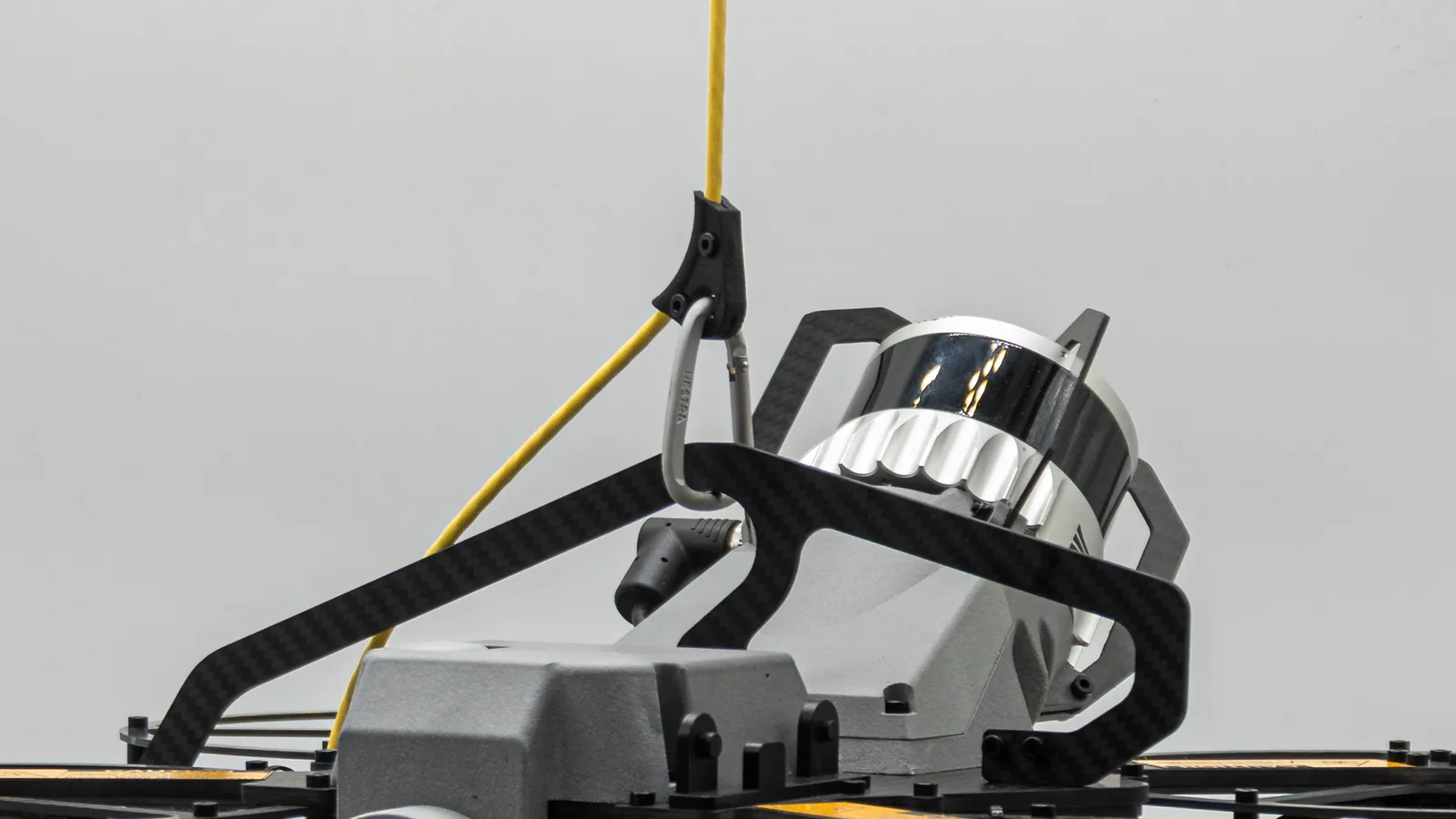
- One 60 m tether carries power and data — no radio link, and no battery in the drone or ground station.
- The Tether Deployment System launches and recovers the drone on its tether for a controlled start and finish every flight.
- No transmitters or GPS receiver, so nothing to intercept, jam or spoof.
- No lithium-ion enters the asset, and nothing can strand the drone mid-flight.
- Static grounding passed a 1+ hour propane-chamber test with no ignition.

Easy and Safe to Operate
- A LiDAR virtual cage stops the drone before it touches anything, whereas physical-cage drones simply bounce off a bulky shell.
- Fly through smaller openings and closer to structure without expert stick skills; the cage stays active in the dark, or can be switched off when you need contact.
- The cage keeps protecting the drone beyond line of sight, deep inside the asset just as at the hatch.
- Set the cage size per job: tighter for narrow clearances, wider for extra margin. The carbon-fibre build is lightweight, rugged and compact enough for the tightest assets.

It Does the Job Itself
- Auto Surface Scan, Auto Line Scan and Distance Lock fly repetitive geometry on their own, giving identical coverage every flight, hands-free.
- Consistent, overlapping passes suit photogrammetry; the pilot supervises while the drone executes.
- Indoors and GPS-free, 128-beam LiDAR and SLAM tell it exactly where it is, tagging every frame to its position in the asset.
One Platform, Four Missions
- Four payloads across multiple bays: a 4K zoom camera, LiDAR and a gas sensor come standard, with ultrasonic thickness (UT) optional.
- An onboard NVIDIA Jetson Orin NX handles perception and SLAM in real time, with spare capacity for upcoming payloads.
- Future-proof by design: the drone you buy today keeps gaining capability as new payloads are released.

Built Around the Operator
- One 14.6″ tablet runs the entire flight, with a big, bright screen that stays readable in dark or bright conditions.
- It’s powerful enough to show high-resolution live video and the SLAM 3D map at the same time.
- Nothing to charge or swap: it’s connected to the ground station, so the system stays powered for long missions. Use a tripod stand or chest vest, with the rugged hand controller for precise flight.

How It Works
One tablet flies it, and Scout Portal documents it. Scout Operator runs the flight in the field; stream live to specialists, upload to Scout Portal after landing, or do both. It runs in the browser with nothing to install.

Scout Operator the pilot’s tablet

Scout Portal review & report in-browser
01
Set Up
Plug into an outlet and boot in under two minutes; the drone is powered the moment the tether connects. Run the pre-flight checklist, start live streaming and fly.
02
Fly
Through openings as small as 600 mm, the drone builds a live SLAM 3D map while 12,000-lumen LEDs light the dark; Auto Surface Scan and Auto Line Scan handle repetitive geometry.
03
Inspect
The pilot makes the judgement calls while every capture (4K video, photos, gas readings, optional UT) is tagged to its place on the 3D map and can be streamed live to specialists.
04
Review & Report
After the flight, upload to Scout Portal to replay and review, run AI analysis, then report, archive and share, all in the browser.
Specifications
Full technical specifications for the Scout 137 Gen are listed below, covering airframe dimensions, navigation systems, power configuration, camera, and communication systems.
Drone / Unit
Dimensions
448 × 479 × 262 mm
Minimum Access Opening
600 mm (Ø) circular opening
Weight
approx. 3 kg (unit) / 16 kg (case)
Max Lifting Capacity
up to 35 m reach
Operating Temperature
−20°C to +50°C
Ingress Protection
IP54 (flight electronics)
Data Rate
approx. 25 GB/hour
Navigation & Compute
LiDAR
128-beam sensor array
Sensing Range
0.5–75 m (high reflectivity), 35 m (low reflectivity)
Field of View
360°
Onboard Computer
NVIDIA Jetson Orin NX
Lighting
Output
up to 12,000 lumens
Mode
structured presets or per-light control
Camera
Resolution
3840 × 2160 (4K)
Optical Zoom
3.5× with auto-focus
Frame Rate / FOV
30 fps, 82–25° (zoom-dependent)
Gimbal
2-axis, ±90° pitch
Ground Station
Dimensions
385 × 440 × 245 mm
Weight
approx. 10.7 kg (unit) / 28 kg (case)
Input Power
200–240V AC, 50/60Hz, minimum 13A
Ingress Protection
IP54
Operating Temperature
−20°C to +50°C
Tether
Length / Weight
60 m, approx. 18.5 g/m
Voltage
400V DC
Data Bandwidth
80 Mbit/s
Breaking Strength
80 kg
Composition
Kevlar-reinforced, PVC outer / FRP inner
Communications
RF Transmitters / Receivers
None
GPS / GNSS Receivers
None
Data Link
Power-line communication over the physical tether
Compliance
CE Marking
Certified under IEC 62368-1
EMC Testing
Tested for unintentional radiator compliance
Organization Certification
ISO 9001 and ISO/IEC 27001 certified
Where the Scout 137 Gen 3 Inspects
Six application areas where reliable data replaces confined-space entry.

Maritime & Offshore
Cargo holds, ballast tanks, FPSOs and turbine foundations, inspected without entry with output ready for class survey.

Onshore Oil & Gas
Refineries, storage tanks, pressure vessels and columns at land-based process facilities, with visual plus UT in one flight.

Power Generation
Penstocks, boilers, flue stacks, spillways and reactor containment; hydro and thermal assets surveyed without dewatering or scaffolding.
Mining & Underground
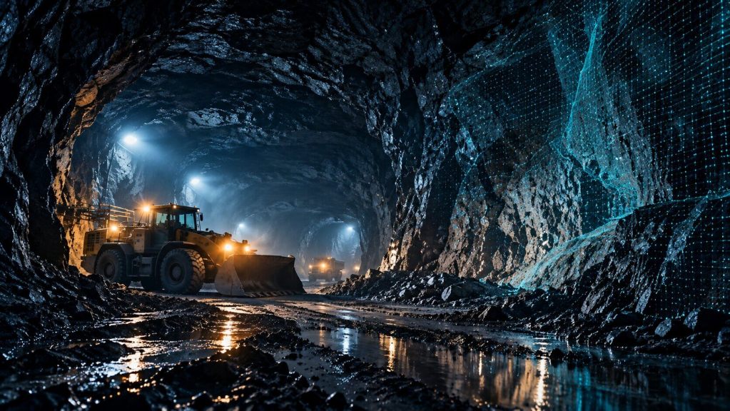
Active shafts, stopes and abandoned workings, proven at 400 m mine depth.
Critical Infrastructure
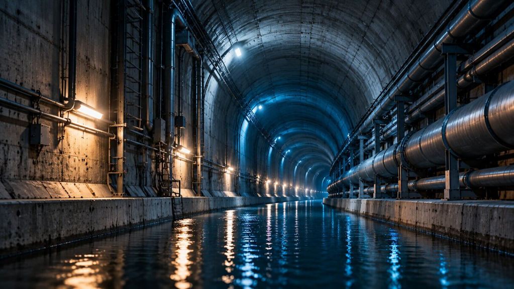
Tunnels, reservoirs, dams, sewers and water systems: confined civil assets captured cleanly.

Class Survey
DNV, Bureau Veritas, LR, ABS and API workflows, with inspection output that passes class review across marine, energy and asset integrity.
The Rest of the System
Payloads and software that work together with the Scout 137 Gen 3.
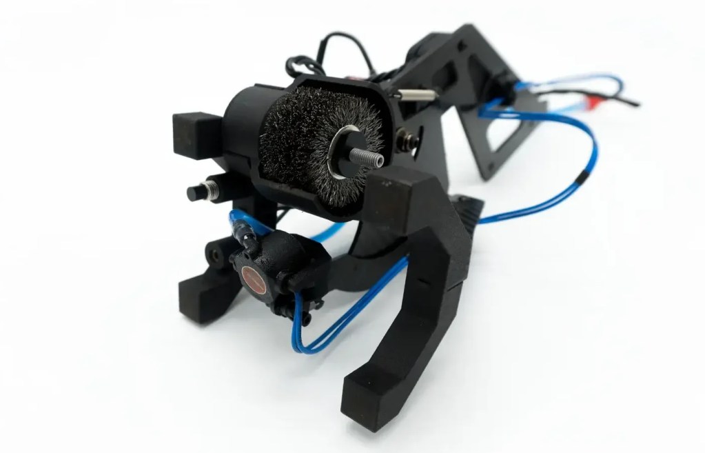
UTM Payload
Ultrasonic thickness measurement during flight, combining surface prep and UTM in one controlled workflow.
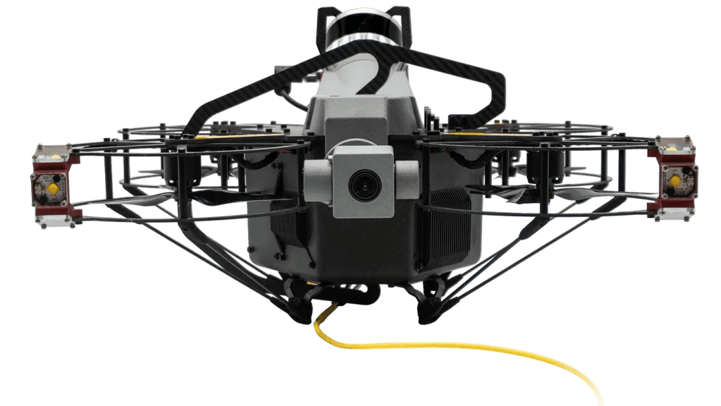
4K Zoom Camera
Survey-grade visual detail with optical zoom, made for dark, dusty, confined environments.
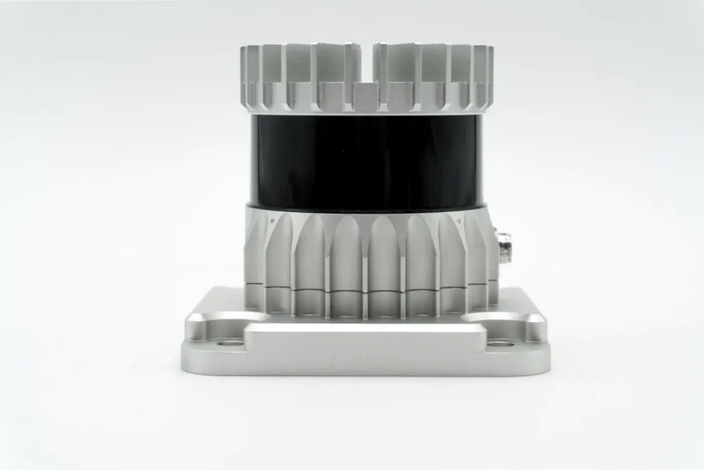
3D LiDAR
Real-time 3D mapping and SLAM positioning, so every finding is located in the point cloud.
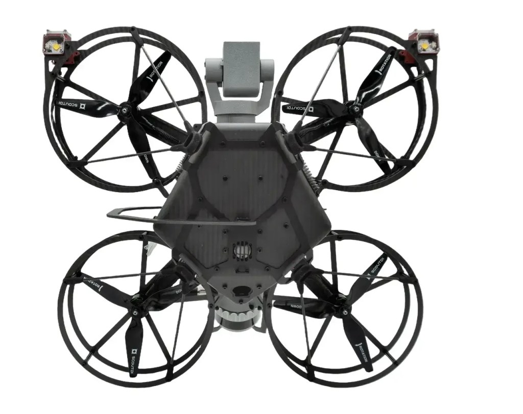
Gas Sensor
Flammable-gas detection on board the drone (NevadaNano MPS, 14 gases) with live telemetry before anyone enters.
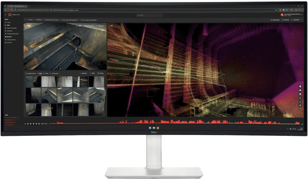
Scout Portal
The cloud platform for live streaming, managing inspection data and sharing it with stakeholders.
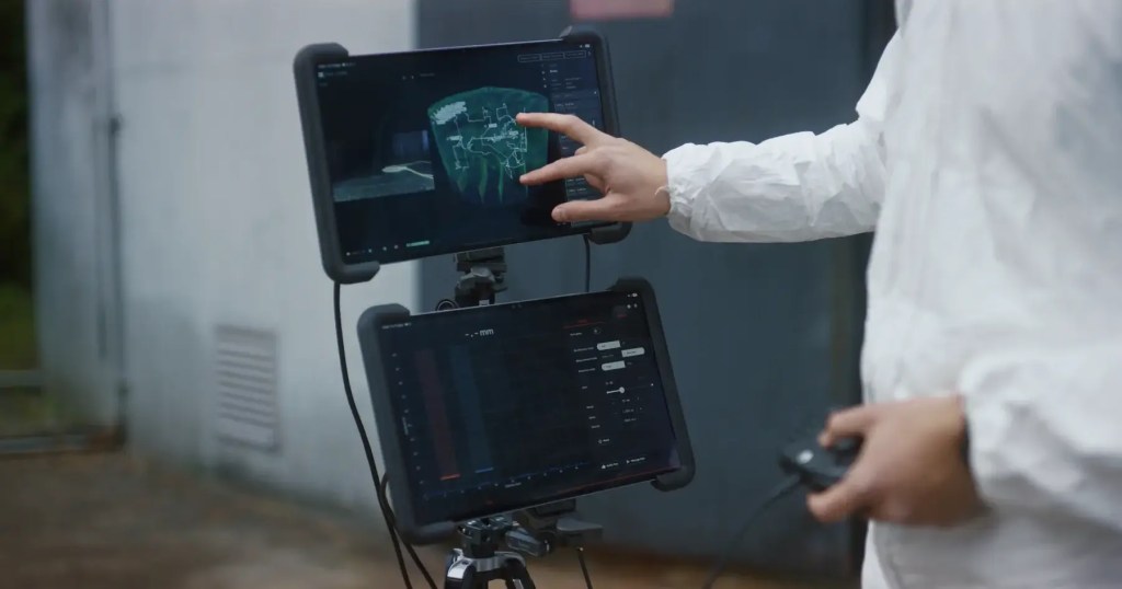
Scout Viewer
A Windows and Android app for reviewing inspection data straight from the drone, fully offline.
Request Your Scout 137 Gen 3 Quote
Share your details and our engineering team will contact you with pricing, availability and technical guidance for tethered, GPS-free inspection of confined industrial assets.