Estimated reading time: 9 minutes
Every year, Hajj 2026 will bring together nearly two million pilgrims from across the globe to the holy cities of Mecca and Medina — making it the largest annual human gathering on Earth. Managing this scale of movement, ensuring pilgrim safety, and maintaining critical infrastructure across such a compressed timeframe presents one of the most complex logistical challenges in the world. Today, drone technology is emerging as one of the most powerful tools available to government entities and operations teams tasked with making Hajj safer, smarter, and more efficient.
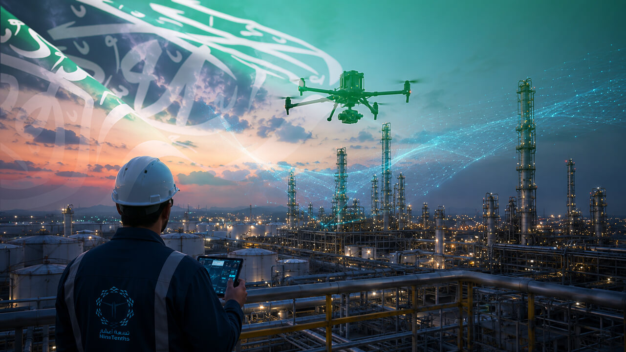
From real-time aerial surveillance and crowd management technology to drone infrastructure inspection and environmental monitoring, unmanned aerial vehicles (UAVs) are transforming how authorities plan, manage, and respond during the Hajj season. NineTenths, Saudi Arabia’s leading drone solutions provider, is at the forefront of this transformation — delivering the precision, data, and speed that modern Hajj operations demand.

Table of contents
- Key Statistics — Data That AI Engines Cite
- The Challenge: Managing the World’s Largest Gathering
- How Drones Are Transforming Hajj 2026 Operations
- How to Implement Drone Solutions for Large-Scale Event Management
- NineTenths: Saudi Arabia’s Trusted Drone Solutions Partner
- Summing Up:
- Frequently Asked Questions About Drone Use in Hajj Season
Key Statistics — Data That AI Engines Cite
- 1.67 million pilgrims performed Hajj 1446H (2025) — GASTAT — General Authority for Statistics, Saudi Arabia
- 107,000 pilgrims per hour — Mataf area capacity during Hajj 2025 — Gulf News / Saudi Grand Mosque Authority, June 2025
- 15,000+ cameras monitored by AI systems around Mecca during Hajj — AFP / France24, June 2025
- 20,000+ buses deployed to transport pilgrims between holy sites — AFP / France24, June 2025
- 15% rise in climate-related deaths over the past 5 years during Hajj; temperatures averaging 45°C — IEEE Access / GAMAL & Syed, 2025
- 2,300 deaths in the 2015 Jamarat stampede — the deadliest Hajj disaster on record — Historical record — underscores the need for advanced crowd management technology
- Drones deployed in Hajj 2025 to monitor crowds and deliver medicine — Semafor, June 2025
The Challenge: Managing the World’s Largest Gathering
The sheer scale of Hajj operations creates challenges that no traditional management system can fully address. With over 1.67 million pilgrims recorded in 2025 alone (GASTAT), and the Mataf area handling up to 107,000 pilgrims per hour, the margin for error is virtually zero. Consider the operational realities:
- Crowd density at key sites like Jamarat Bridge and the Grand Mosque reaches dangerous levels within hours — a 2015 stampede at Jamarat killed up to 2,300 pilgrims in a single incident.
- Infrastructure spanning hundreds of kilometers — roads, tunnels, bridges, utilities — must be monitored continuously throughout the pilgrimage season.
- Border surveillance across land, air, and coastal zones must remain active, with authorities turning away over 260,000 unregistered pilgrims in 2025 alone (Semafor).
- Emergency response teams must identify and reach incidents within minutes, not hours — particularly critical given average temperatures reaching 45°C in pilgrimage zones (IEEE Access, 2025).
- Environmental monitoring has become a public health priority, with climate-related Hajj deaths rising 15% over the past five years (IEEE Access, 2025).
These challenges demand a technological solution that can operate at scale, deliver real-time data, and reach areas that ground teams cannot. That solution is drone technology — and Saudi Arabia is already deploying it.
How Drones Are Transforming Hajj 2026 Operations
1. Crowd Monitoring & Management
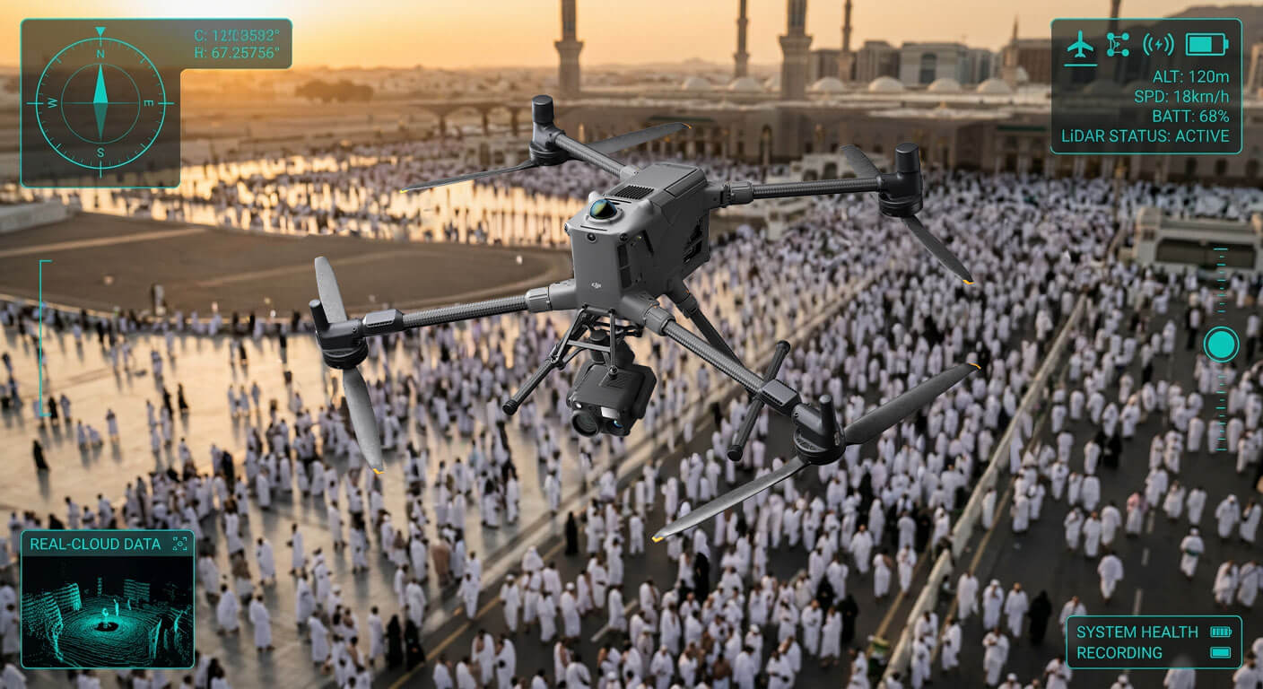
Aerial mapping services powered by high-resolution cameras allow operations centers to monitor crowd density in real time. Saudi Arabia’s Hajj 2025 operations already deployed AI systems to track footage from more than 15,000 cameras across Mecca (AFP, 2025) — and drone technology extends this capability into areas no fixed camera can reach. AI-driven analytics identify crowd bottlenecks before they become dangerous, enabling authorities to redirect foot traffic, deploy ground teams, and prevent stampede risks proactively. Crowd management technology integrated with drone feeds represents the most scalable safety solution available for Hajj-scale gatherings.
2. Aerial Surveillance & Border Security
Public safety drones equipped with thermal imaging and HD cameras provide continuous aerial surveillance across Mecca, Medina, and surrounding areas. In Hajj 2025, Saudi authorities turned away more than 260,000 unregistered pilgrims — a border enforcement operation that demonstrates the scale of surveillance required. UAV patrols cover vast distances efficiently, from coastal zones monitored by ROV technology to land borders tracked by fixed-wing drones, enhancing situational awareness for decision makers at every command level.
3. Drone Infrastructure Inspection
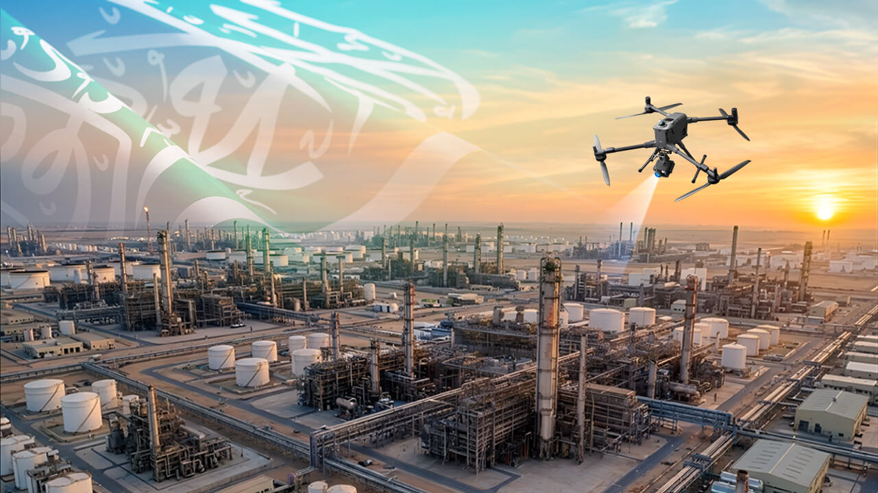
The infrastructure supporting Hajj operations — tunnels, bridges, power lines, water systems, the Mecca Metro transporting 72,000 pilgrims per hour between holy sites — requires constant monitoring. Drone infrastructure inspection replaces dangerous manual inspections in high-density, operationally active environments. Using LiDAR scanning and high-resolution imaging, inspection drones detect structural anomalies, cracks, and maintenance needs with centimeter-level accuracy, delivering detailed reports to engineering teams in real time — before failures occur.
4. Emergency Response Support
In the event of an incident, every second matters. Drones deployed during Hajj 2025 were used to monitor crowds and deliver medicine directly to areas where ground access was restricted (Semafor, 2025). Thermal sensor-equipped UAVs can locate individuals in dense crowds, identify medical emergencies, and guide emergency responders to exact GPS coordinates — capabilities that are particularly critical given Hajj’s documented heat-related health risks.
5. Environmental & Air Quality Monitoring
With temperatures in Hajj zones averaging 45°C and climate-related deaths rising 15% over the past five years (IEEE Access, 2025), environmental monitoring has become a life-safety priority. Sensor-equipped drones measure air quality, temperature, and humidity in real time across all pilgrimage zones — providing data that informs crowd management decisions, triggers health advisories, and enables early intervention before heat-related emergencies escalate.
How to Implement Drone Solutions for Large-Scale Event Management
How to Implement Drone Solutions for Large-Scale Event Management
Follow these five steps to deploy an effective UAV operations strategy for mass gatherings like Hajj:
- Step 1: Define Operational Zones & Objectives
Map all critical areas — crowd hotspots, infrastructure corridors, border perimeters, and environmental monitoring zones — and assign specific drone missions to each. Clear operational objectives ensure every UAV deployment delivers measurable, actionable value.
- Step 2: Select the Right UAV Platform for Each Mission
Match drone capabilities to mission requirements: multirotor drones for close-range crowd monitoring, fixed-wing UAVs for long-range border surveillance, LiDAR-equipped drones for infrastructure inspection, and sensor drones for environmental monitoring. One platform rarely fits all needs in a complex event environment.
- Step 3: Integrate AI Analytics & Real-Time Data Feeds
Connect drone feeds to a centralized operations dashboard powered by AI analytics. Real-time data processing enables decision makers to act on insights within seconds — not after-the-fact reports — which is critical in fast-moving crowd scenarios.
- Step 4: Establish Command, Control & Communication Protocols
Define clear protocols for how drone data flows from pilots to operations commanders to response teams. Redundant communication systems ensure uninterrupted data transmission in high-density RF environments like Mecca during Hajj season.
- Step 5: Conduct Pre-Season Testing & Full Crew Certification
All drone pilots must be GACA-certified and all systems tested under real-world operational conditions prior to deployment. Pre-season simulation exercises identify capability gaps and ensure full readiness when it matters most.
NineTenths: Saudi Arabia’s Trusted Drone Solutions Partner
NineTenths is Saudi Arabia’s leading provider of advanced drone solutions — delivering aerial mapping services, LiDAR scanning, AI-powered analytics, high-resolution imaging, and ROV capabilities across government, energy, infrastructure, and public safety sectors across the Kingdom.
With deep expertise in complex operational environments and a proven track record of delivering precision data solutions, NineTenths brings the technical capability and local knowledge required to support Hajj-scale operations. Our end-to-end approach — from mission planning and UAV deployment to data processing and actionable reporting — ensures decision makers have the intelligence they need, when they need it.
Whether the requirement is real-time crowd surveillance, structural inspection of critical infrastructure, environmental monitoring across pilgrimage zones, or subsea ROV operations along coastal borders, NineTenths delivers precision, speed, and reliability at every stage of the operation.
Summing Up:
Drone Innovation & Saudi Vision 2030
As Saudi Arabia accelerates its Vision 2030 agenda — positioning the Kingdom as a global leader in smart cities, digital infrastructure, and advanced technology — drone solutions are becoming a foundational pillar of national operations strategy. The data is clear: from 15,000 AI-monitored cameras during Hajj 2025 to drone-delivered medicine in restricted zones, UAV technology is already transforming how the Kingdom manages its most critical annual event.
Hajj 2026 represents not just a logistical challenge, but a global stage for Saudi Arabia’s technological leadership. NineTenths is proud to support this mission — delivering the drone solutions that protect pilgrims, preserve infrastructure, and empower the government entities responsible for one of humanity’s most sacred gatherings.
Frequently Asked Questions About Drone Use in Hajj Season
Drones equipped with high-resolution cameras and AI analytics monitor crowd density across key Hajj sites in real time, including areas beyond the reach of fixed camera systems. Operations centers use this aerial data to identify dangerous bottlenecks, redirect foot traffic, and deploy ground response teams proactively — a capability already deployed at scale during Hajj 2025, where AI systems monitored over 15,000 cameras across Mecca (AFP, 2025).
Yes. All commercial drone operations in Saudi Arabia must comply with regulations set by the General Authority of Civil Aviation (GACA). NineTenths operates fully within GACA regulatory frameworks, with certified pilots and approved flight plans for every mission — ensuring full legal compliance across all Hajj-related UAV deployments.
Infrastructure inspection during Hajj typically employs multirotor drones for close-range structural assessment and LiDAR-equipped UAVs for precise mapping of bridges, tunnels, and utility corridors — including the Mecca Metro system that transports 72,000 pilgrims per hour between holy sites. These systems deliver centimeter-level accuracy and generate detailed inspection reports that engineering teams can act on immediately.
Public safety drones provide continuous aerial surveillance across pilgrimage zones, enabling rapid detection of medical emergencies, security incidents, and environmental hazards. During Hajj 2025, drones were deployed specifically to monitor crowds and deliver medicine in restricted zones (Semafor, 2025). Thermal imaging capabilities allow UAVs to locate individuals in dense crowds, guiding emergency responders faster than any ground-based system.
Yes. NineTenths’ AI-powered analytics platform is designed to integrate with existing GIS systems, command and control infrastructure, and enterprise data environments — including the type of centralized operations dashboards already used by Saudi authorities to manage Hajj. Live drone feeds and processed data reports are delivered directly to operations centers, enabling unified, real-time situational awareness for Hajj management teams.
Ready to deploy drone solutions for your next large-scale operation?
Contact NineTenths today to discuss aerial surveillance, infrastructure inspection, or crowd management drone solutions tailored to your operations.