
GIS Day Workshop at
Imam Mohammad Ibn Saudi Islamic University
Nov 16, 2026 | Riyadh

About the Workshop
On November 16, 2026, NineTenths delivered a GIS Day workshop at Imam Mohammad Ibn Saud Islamic Universityin Riyadh, hosted by the university’s Department of Geography.
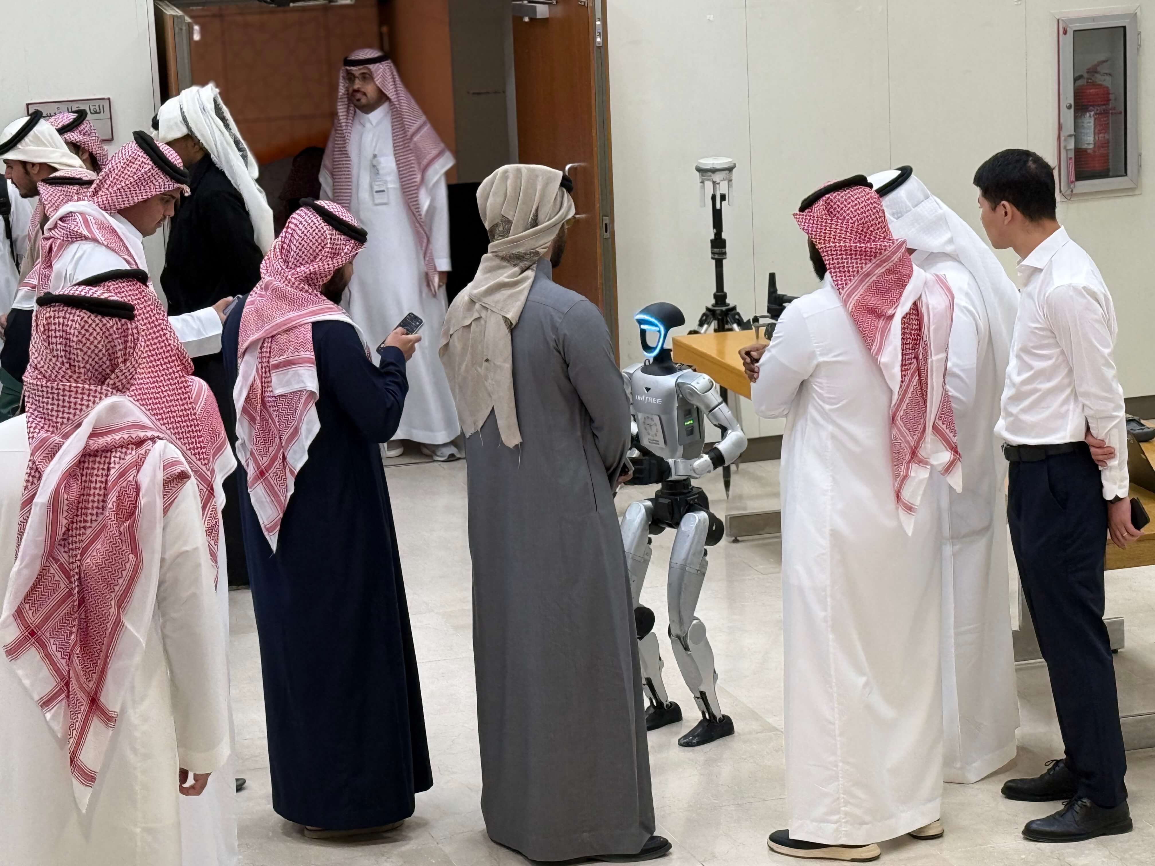
The first speaker was a robot. A Unitree robot welcomed attendees and introduced NineTenths before a session on how drones collect geospatial data in the field.
What Was Covered
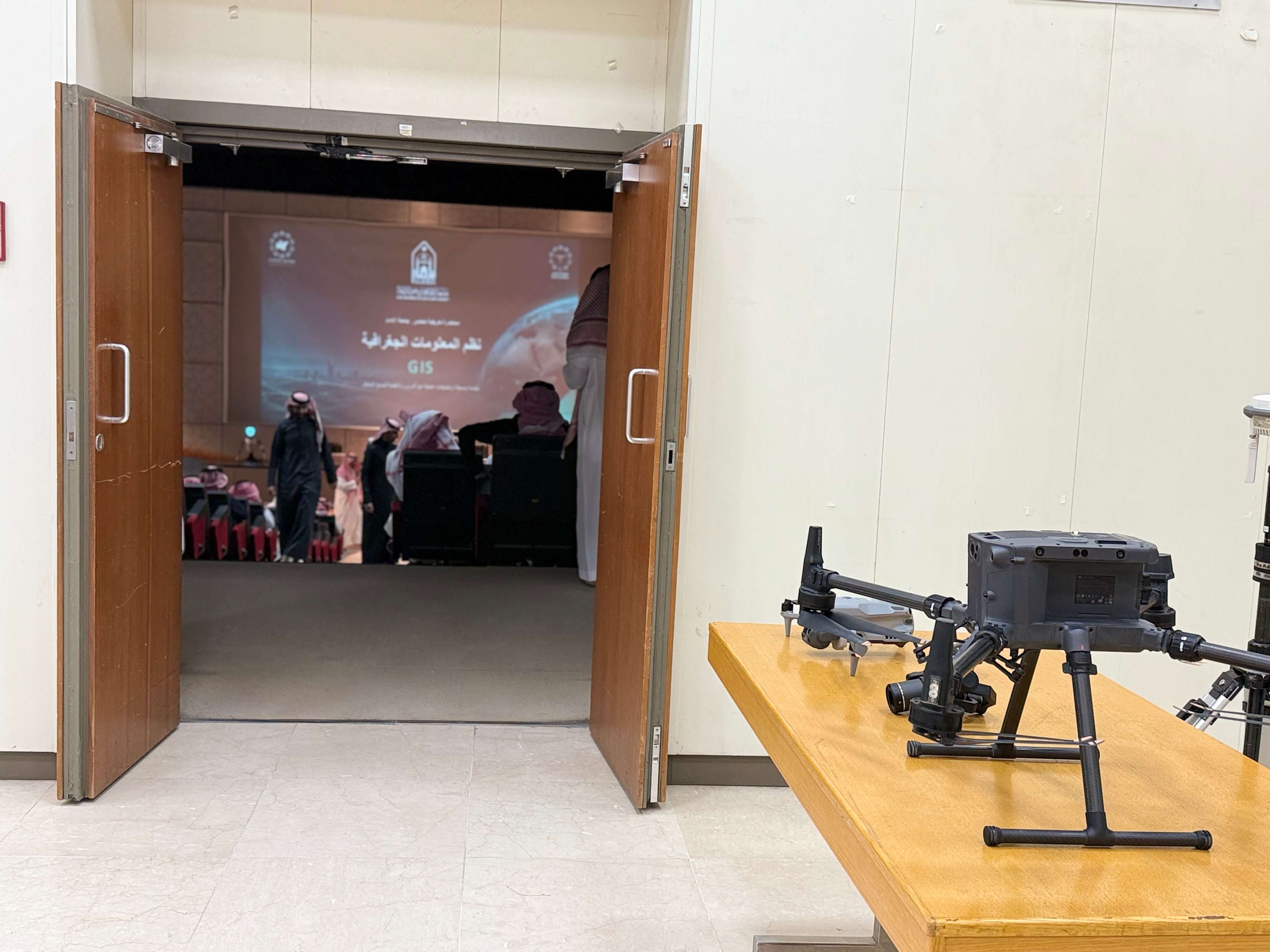
NineTenths showcased DJI drones and discussed how they collect geospatial data for surveying and mapping. NineTenths also presented certificates of attendance to workshop participants.
Time & Location
Date & Time: November 16, 2026, 9:00 AM – 11:30 AM
Venue: Imam Mohammad Ibn Saud Islamic University, Riyadh.
Host: Department of Geography
Delivered By: NineTenths
Audience: University students, researchers, and faculty

University Recognition
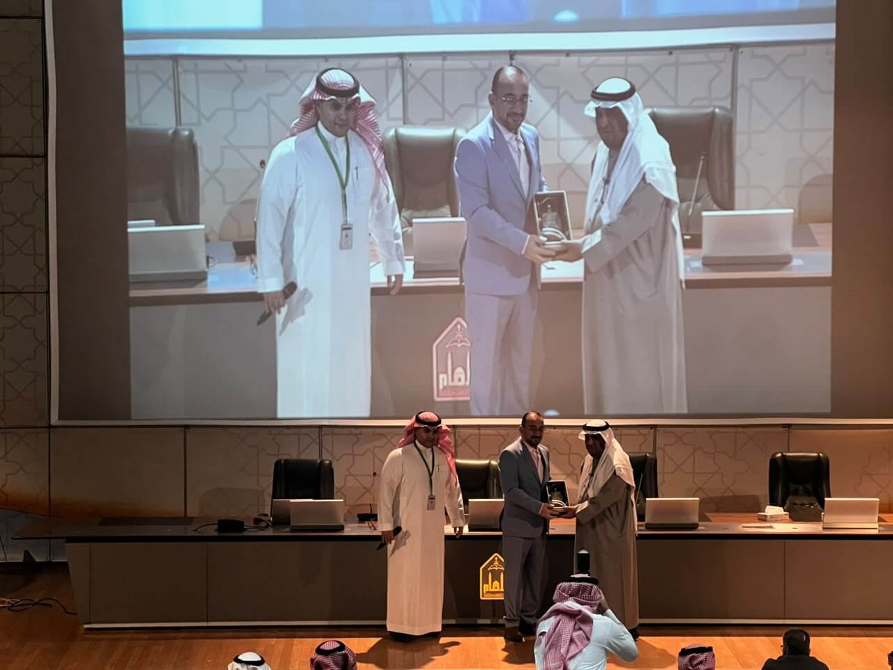
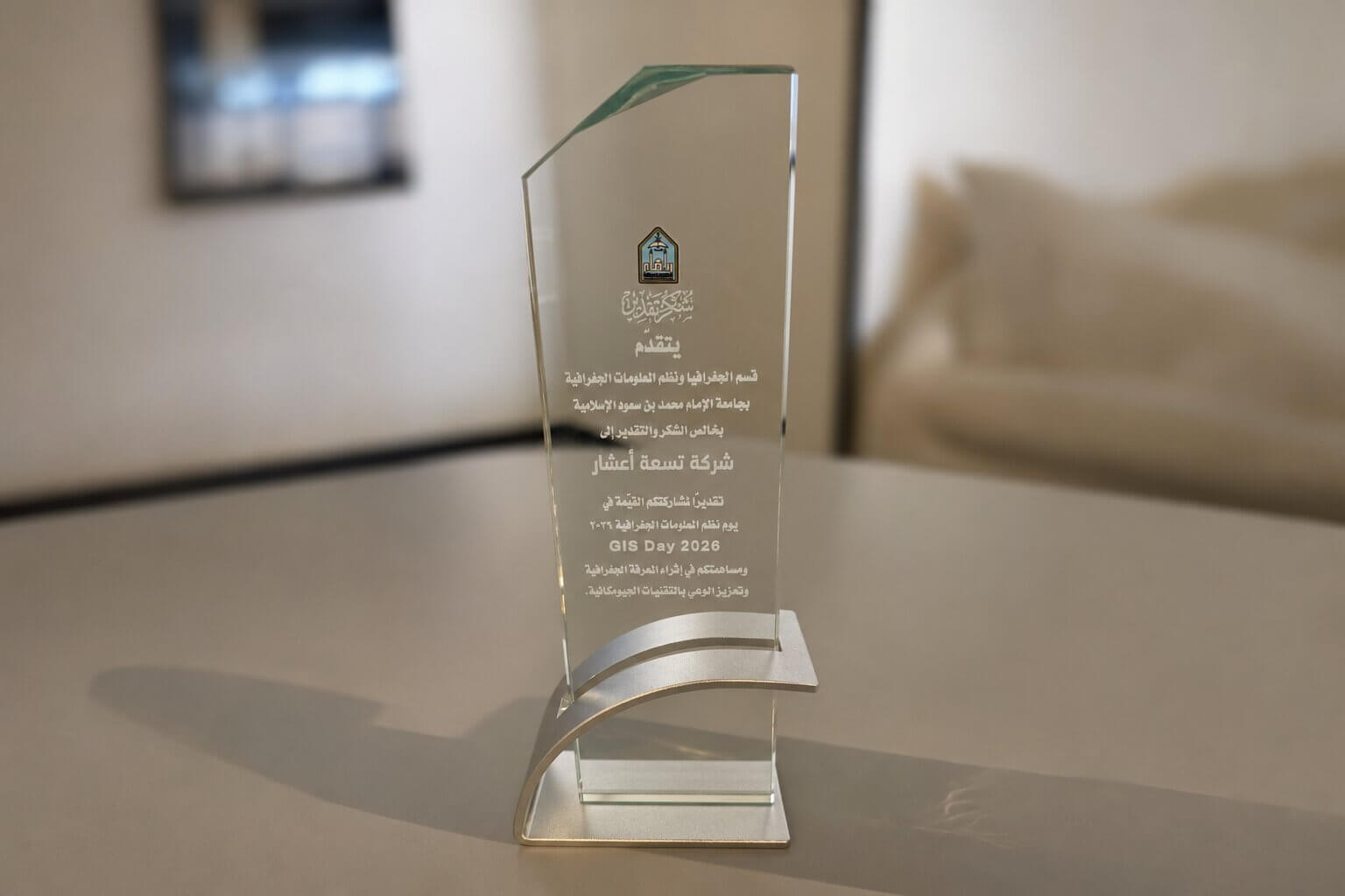
The Department of Geography presented NineTenths with a plaque in recognition of its contribution to GIS Day. We thank the department for hosting us and everyone who joined the workshop and took part in the discussion.
Read the original announcement on [LinkedIn].
The GIS Day workshop builds on NineTenths’ work with Saudi universities. We previously led a workshop at King Saud University on using the DJI Matrice 350 RTK for site surveying and a workshop at Princess Nourah bint Abdulrahman University on drone surveying and mapping.
Connecting Academic Learning with Field Applications
Collaborating with Saudi universities gives NineTenths an opportunity to show how drones are used beyond the classroom. At the GIS Day workshop, the DJI drone showcase connected a core topic in geography—how spatial data is collected—with the tools used to capture it in the field.
Frequently Asked Questions About the GIS Day Workshop at Imam University (IMSIU)
The Unitree robot G1 opened the NineTenths workshop by welcoming attendees and introducing the company.
The workshop explored how drones collect geospatial data in the field and featured a showcase of DJI drones.
Yes. NineTenths presented certificates of attendance to workshop participants.
Need maps or 3D models for your project?
NineTenths aerial surveying services turn field data into maps and 3D models that support project planning and monitoring.