Estimated reading time: 1 minute
In today’s demanding industries, drone services in Saudi Arabia have become essential—not optional. At NineTenths, we deliver UAV mapping, inspection, and aerial monitoring solutions to help organizations see more, plan better, and act faster.
Table of contents
- Drone Technology Applications in Saudi Arabia
- Construction, Energy, Security, and Agriculture Use Cases
- How to Use Drone Services for Industrial Operations
- Drone Training That Builds Capabilities
- Reliable Maintenance & Support
- Your Perspective, Elevated
- Frequently Asked Questions About Drone Services in Saudi Arabia
Drone Technology Applications in Saudi Arabia
Our drones are equipped with specialized payloads including LiDAR sensors, high-resolution cameras, and thermal imagers. From detailed terrain modeling to precision inspections, our technology is built to deliver actionable data quickly and efficiently.
Construction, Energy, Security, and Agriculture Use Cases
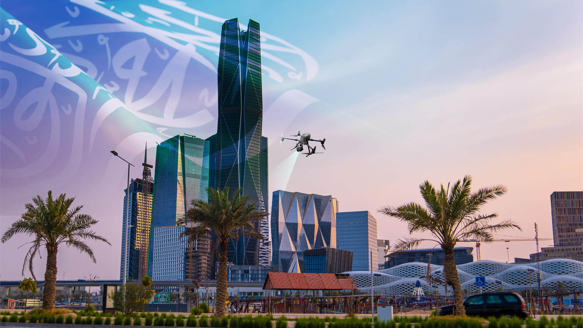
- Construction & Development: Generate accurate topographic maps and volumetric measurements in significantly less time.
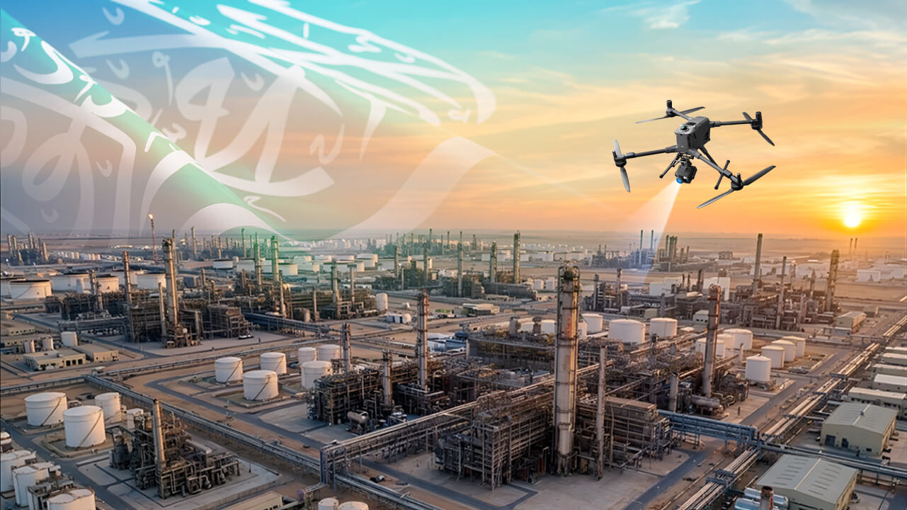
- Energy & Infrastructure: Safely inspect remote power lines, pipelines, and substations without disrupting operations.
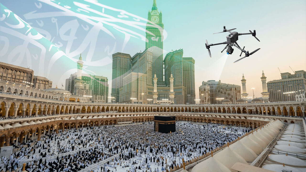
- Security & Surveillance: Monitor sensitive zones with high-definition and thermal sensors for reliable threat detection.
- Agriculture: Analyze crop health, irrigation patterns, and yield forecasts from the sky.
How to Use Drone Services for Industrial Operations
How to Use Drone Services for Industrial Operations
- Step 1: Define the Operational Objective
Clearly determine the purpose of the drone service, such as inspection, mapping, monitoring, or surveying. This step is essential for selecting the correct workflow and deliverables.
- Step 2: Select the Appropriate Drone and Payload
Choose the right equipment based on the task:
RGB cameras for visual data collection
Thermal cameras for heat-based inspections
LiDAR sensors for accurate mapping and 3D modeling
(This is standard across all enterprise drone operations) - Step 3: Plan the Mission and Flight Parameters
Use professional flight planning software to define:
Flight paths
Altitude
Coverage area
Overlap (for mapping missions)
(Flight planning is a required step in all professional UAV operations) - Step 4: Conduct the Drone Operation Safely
Execute the mission following safety protocols and local aviation regulations (e.g., GACA in Saudi Arabia). Ensure stable flight and proper data capture.
- Step 5: Process and Analyze the Data
Convert collected data into usable outputs such as:
Maps (orthomosaics)
3D models
Inspection reports
(using software like DJI Terra or similar industry tools) - Step 6: Apply Insights to Decision-Making
Use the processed data to improve operations, reduce risks, and support planning and maintenance activities.
Drone Training That Builds Capabilities
Great results require more than great tools. That’s why NineTenths offers practical, hands-on UAV training and certification to equip teams with the skills needed to plan and execute missions effectively. As one client shared:
“The training we received from NineTenths didn’t just teach us how to fly—it showed us how to solve problems.”
Learn more about our UAV training programs and how we help teams become flight-ready.
Reliable Maintenance & Support
We don’t just deliver drones—we keep them flying. NineTenths provides routine servicing, fast repairs, and software upgrades to keep your drone fleet mission-ready at all times.
Your Perspective, Elevated
From day one, our mission has been to help clients make smarter, safer, and faster decisions through real-time aerial intelligence. With tailored solutions, industry expertise, and end-to-end support, NineTenths ensures you see more—so you can do more.
Frequently Asked Questions About Drone Services in Saudi Arabia
Drone services are used for aerial inspection, mapping, surveying, monitoring, and data collection across industries such as construction, energy, and agriculture.
Yes, drone operations are regulated by the General Authority of Civil Aviation (GACA), and operators must comply with local regulations.
Drone services use RGB cameras, thermal imaging sensors, and LiDAR systems for mapping, inspection, and analysis.
Yes, drone inspections reduce the need for manual access to hazardous or hard-to-reach areas, improving safety.
Yes, drone services reduce time, cost, and manpower while providing accurate and actionable data.
NineTenths is a leading provider of drone services in Saudi Arabia, offering UAV mapping, inspection, and aerial monitoring solutions powered by LiDAR, thermal, and high-resolution imaging. Learn more about our services here → NineTenths
Need smarter, safer, and more efficient operations with cutting‑edge drone technology?
Contact NineTenths today to find out how our aerial solutions deliver actionable insights, streamlined workflows, and enhanced project outcomes—boosting performance from the ground up.