Estimated reading time: 5 minutes
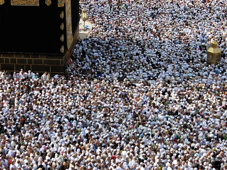
Real-Time 3D Crowd Management for Hajj & Umrah uses drones, LiDAR sensors, and AI-powered visualization to monitor crowd movement and density in real time. By creating a live 3D digital twin of the Holy Sites in Mecca, authorities can detect congestion, predict risks, and improve safety during large-scale gatherings.
What is Real-Time 3D Crowd Management
Studying the Employment Drone Based Zenmuse L1 LiDAR from DJI on the Matrice 300 RTK to Lay the Groundwork for a Real-Time 3D Crowd Management System at The Holy Sites of Mecca During Hajj and Umrah Rituals.
Table of contents
- What is Real-Time 3D Crowd Management
- Challenges in Crowd Management During Hajj & Umrah
- How Real-Time 3D Crowd Management Works
- How It Works: Real-Time 3D Visualization
- How-to: How to Implement Real-Time 3D Crowd Management Using Drones
- Why Drone-Based Crowd Management is the Future
- Summing Up
- Frequently Asked Questions About 3D Crowd Management
Challenges in Crowd Management During Hajj & Umrah
Crowd management is a challenging task for public safety officials in many scenarios such as, evacuating densely populated areas in cases of emergency like wildfires and hurricanes or when it comes to organizing music festivals, sports events and managing large masses of pilgrims. Stampedes in such mentioned scenarios has claimed the lives of tens and even hundreds in one day. Public safety departments are readily utilizing and benefiting from the evolution of surveillance equipment and AI algorithms to maintain lives in such scenarios. License plate detection, mask detection and real-time tracking are examples of the solutions currently being practiced around the world. However, the visualization of the results is still dependent on analysis of single point 2D Videos, unable to fuse the data from different cameras, it lacks a complete cognition of the 3D world in Real-Time.

How Real-Time 3D Crowd Management Works
In an attempt to manage and control crowds in areas that witness a seasonal surge of crowd density, a study conducted by Yu et al illustrated how Real-Time 3D Visualization with Visual IoT can autonomously monitor and manage dense crowds.
How It Works: Real-Time 3D Visualization
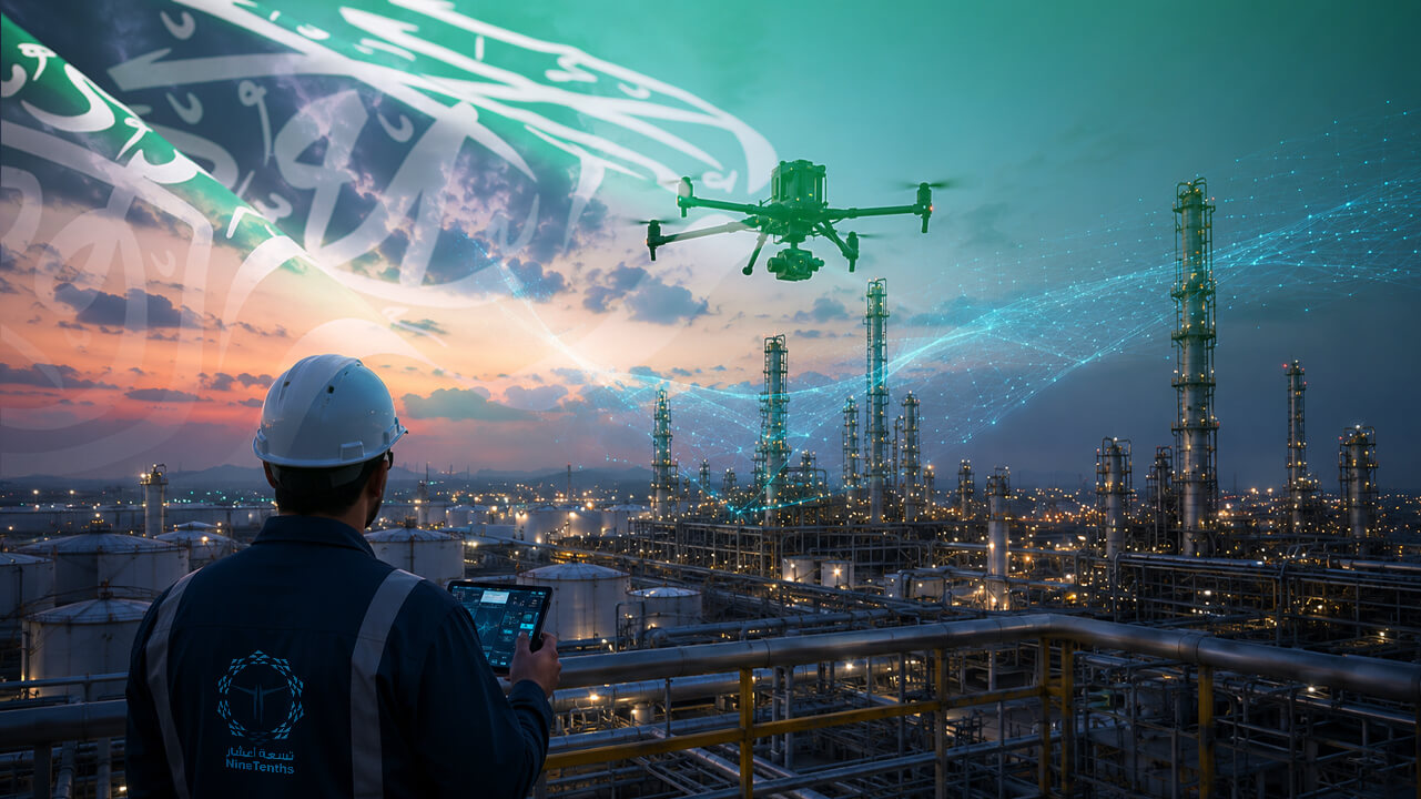
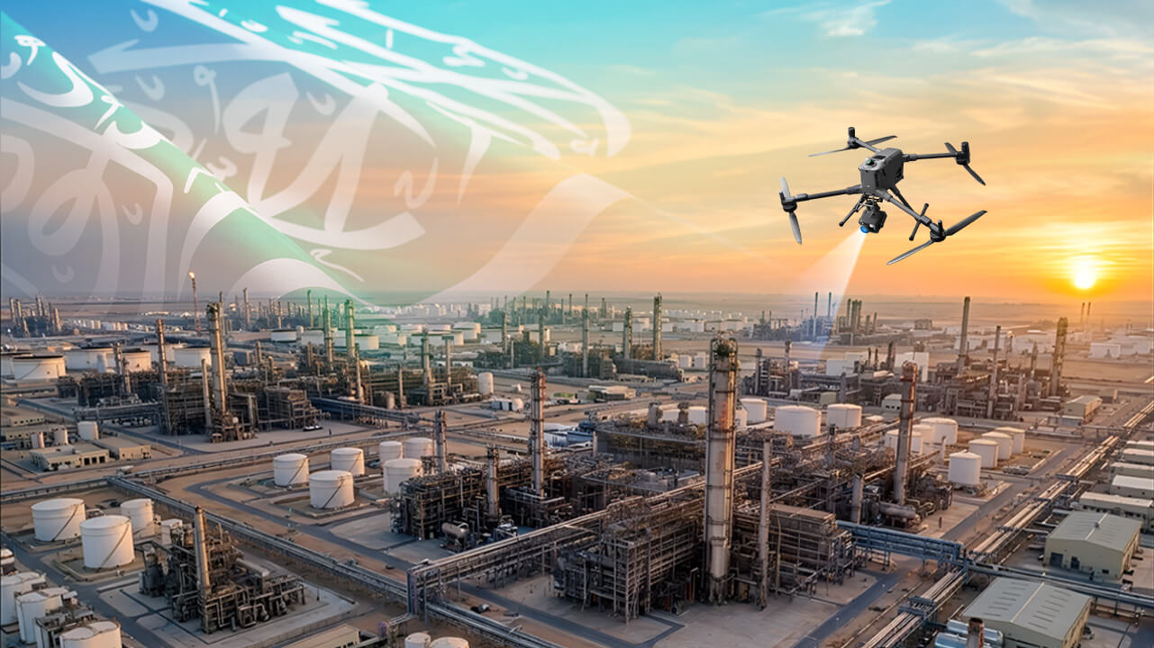
The system could also run simulations for a better understanding and affirmative decision making. By design, the system inlays data from different fixed or airborne sensors like cameras, thermal cameras and gas sensors to an Algorithm which projects this dynamic data into a highly accurate, pre-defined 3D reconstruction of the site. Drone Mapping with a LiDAR such as DJI’s Zenmuse L1 sensor plays a unique and important role in reconstructing a digital twin of the site in study, taking details like ground level, buildings and trees into consideration.
How-to: How to Implement Real-Time 3D Crowd Management Using Drones
How-to: Implement Real-Time 3D Crowd Management Using Drones
- Identify critical areas
How-to: Implement a Real-Time 3D Crowd Management System
- Deploy drones with LiDAR & cameras
Use Zenmuse L1 on M300 RTK
- Collect aerial data
Fly in patterns to cover the site from multiple angles
- Fly in patterns to cover the site from multiple angles
Create 2D maps and 3D models using DJI Terra
- Integrate into real-time monitoring
Fuse drone data with Visual IoT systems
- Run simulations & alerts
Test scenarios for crowd movement and emergency planning.
Why Drone-Based Crowd Management is the Future
Drone mapping is used to produce a very accurate digital reconstruction of specific sites, creating either 2D maps or 3D models by flying over these sites in specific patterns to collect images from different locations and with different angles, these images can then be processed with specialized software to stitch them together and create one complete 2D map or 3D Model. DJI’s Matrice 300 RTK Aircraft is the perfect platform for such an acquisition with great maneuverability and high precision RTK geo-referencing and omni-directional sensing for safe flying.
Summing Up
In conclusion, it is required to scan parts of the Holy Sites in Mecca and reconstruct a 3D virtual twin with DJI’s Terra software laying the groundwork for the new Intelligent Visual-IoT-Enabled Real-Time 3D Visualization for Autonomous Crowd Management.
Frequently Asked Questions About 3D Crowd Management
Real-Time 3D Crowd Management is a system that uses drones, sensors, and AI to monitor crowd density and movement. It creates a live 3D digital twin of the environment, helping authorities make faster and safer decisions.
DJI Matrice 300 RTK equipped with Zenmuse L1 LiDAR sensors are commonly used.
It provides live crowd data and predictive simulations, allowing authorities to prevent congestion and emergencies.
Yes, it’s applicable to concerts, sports events, and other mass gatherings worldwide.
Yes, DJI Terra or similar 3D reconstruction software is used to process LiDAR and camera data.
Want expert drone and real‑time 3D crowd management solutions for large events or high‑density sites?
Contact NineTenths today to explore how advanced aerial data capture and real‑time visualization can help you monitor, manage, and optimize crowd movements safely and efficiently